21 Farmway, Middleton, Manchester, M24 1DL
About 21 Farmway
21 Farmway is a property in Middleton, Manchester, Manchester (M24 1DL). It has council tax band D.
It hasn't traded since November 1997, a hold of 29 years that's notably long for the area. Only one transfer is on record with HM Land Registry, suggesting it has stayed in the same hands for a long time. One planning record on file: an extension approved in 2004. Past consents include an extension and a conservatory, meaningful when judging how the property has evolved.
Everything you need to know about 21 Farmway
The true value, the hidden risks and the full sale history, in one report.
Pick your report · every report is £14.99
One time fee only - money back guarantee

The data behind every report


Energy performance
No EPC on record
This property doesn't have an Energy Performance Certificate yet. An EPC is required to sell or let — and unlocks our automated valuation.
Get a survey for this property
Level 2 HomeBuyer Report
We've checked 10 risk factors against the available data for this property and believe a Level 2 HomeBuyer Report could be a suitable option for you.
Planning history
1 application on record at 21 Farmway, Middleton, Manchester, M24 1DL
- Jul 2004ConservatoryFullOutcome in report
Extension: Single storey
First Floor Side Extension And Rear Conservatory Extension To Dwelling
Extension- Documents
- 1 doc on file
- Reference
- 04/D43632
Unlock 21 Farmway, Middleton, Manchester, M24 1DL's full planning history
You're seeing the shape of it. The report has the substance.
- Every decision — granted, refused or withdrawn (1 on record)
- All 1 application on this property in full, plus 5 notable nearby
- The 1 documents, officer reports & conditions
- What the pattern means for extending or converting here
One time fee only - money back guarantee
Sales history & valuation
21 Farmway has been held in the same hands since before 2000.
£62,750
Recorded with HM Land Registry.
Sales timeline
12 November 1997Most recent
£62,750
Median price across the last 5 sales in M24 1DL: £190,000 (2024–2022).
Nearby sales in M24 1DL
61 Farmway, Middleton, Manchester, M24 1DL
Sold Apr 2024
£166,00065 Farmway, Middleton, Manchester, M24 1DL
Sold Aug 2023
£185,00075 Farmway, Middleton, Manchester, M24 1DL
Sold Apr 2023
£200,00057 Farmway, Middleton, Manchester, M24 1DL
Sold Mar 2023
£205,00069 Farmway, Middleton, Manchester, M24 1DL
Sold Oct 2022
£190,000
Everything you need to know about 21 Farmway
The true value, the hidden risks and the full sale history, in one report.
Pick your report · every report is £14.99
One time fee only - money back guarantee
The data behind every report
Similar properties nearby
1 Adelaide Street, Middleton
M24 1BF
1 Albert Street, Middleton
M24 1BJ
1 Alcester Close, Middleton
M24 1HJ
1 Alkrington Green, Middleton
M24 1ED
1 Alkrington Hall Road North, Middleton
M24 1SZ
1 Alkrington Hall Road South, Middleton
M24 1NJ
1 Alresford Road, Middleton
M24 1WU
1 Andover Avenue, Middleton
M24 1JG
The neighbourhood at a glance
Crime
1/mo
Steady year-on-year across the wider district.
Nearest stop
0.2 km
Mill Fold Road — bus stop.
Closest school
0.3 km
St Peter's Roman Catholic Primary School, Rochdale. 31 schools nearby.
Go deeper on the local area
A Local Area report breaks down crime, transport links, schools and air quality in depth.
Road noise across the postcode
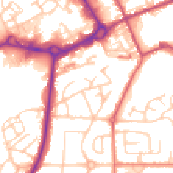
Daytime· 07:00 – 23:00
54.3dB

Night-time· 23:00 – 07:00
44.8dB