72 Townley Street, Middleton, Manchester, M24 1BT
About 72 Townley Street
72 Townley Street is an end-of-terrace house in Middleton, Manchester, Manchester (M24 1BT). It has a recorded floor area of 131 m² (around 1410 sq ft), construction records dating it to 1900-1929 and council tax band B. The latest certificate (February 2022) shows a D (score 64), on the cusp of jumping into the C band. The rating has held steady at D across 2 certificates since March 2012. Between certificates, roof efficiency dropped from Good to Average and window efficiency dropped from Good to Average. The recommended improvements would lift it to B (score 85), a 2-band jump.
At 131 m² the property is well over the postcode median (68 m² across 23 EPCs), placing it in the larger end of the local stock.
Everything you need to know about 72 Townley Street
The true value, the hidden risks and the full sale history, in one report.
Pick your report · every report is £14.99
One time fee only - money back guarantee

The data behind every report


Energy performance
Recommended upgrades on file would lift this property by multiple EPC bands.
EPC Rating
Get a survey for this property
Level 3 Building Survey
Because the property was built before 1919 and has solid (non-cavity) walls, we believe a Level 3 building survey should be considered.
From £885 · Includes VAT
Planning history
72 Townley Street has no planning applications on record.
But the area is active
5 notable applications nearby — larger schemes and conversions that could reshape the street. The report maps them all.
Sales history & valuation
72 Townley Street has no Land Registry sales on file, suggesting it has stayed in the same hands since registration began.
£250,000
Modelled from EPC, postcode comparables.
No sales recorded with HM Land Registry
That can mean the property has never traded since the registry began publishing in 1995, was a new build that hasn't been registered yet, or is held in the same hands long-term.
Median price across the last 5 sales in M24 1BT: £89,000 (2024–2021).
Nearby sales in M24 1BT
100 Townley Street, Middleton, Manchester, M24 1BT
Sold Nov 2024
£126,50082 Townley Street, Middleton, Manchester, M24 1BT
Sold Nov 2024
£813110 Townley Street, Middleton, Manchester, M24 1BT
Sold Dec 2022
£89,00084 Townley Street, Middleton, Manchester, M24 1BT
Sold Feb 2022
£111,00094 Townley Street, Middleton, Manchester, M24 1BT
Sold Jan 2021
£78,000
Versus other Townley Street homes
Floor Area for 72 Townley Street runs comfortably ahead of the street norm.
EPC Rating
64 (D)
Street avg 57 (D)
Floor Area
131 m²
Street avg 71 m²
CO₂ Emissions
5.6 t/year
Street avg 4.1 t/year
Habitable Rooms
6 rooms
Street avg 4 rooms
Everything you need to know about 72 Townley Street
The true value, the hidden risks and the full sale history, in one report.
Pick your report · every report is £14.99
One time fee only - money back guarantee
The data behind every report
Similar properties nearby
1 Birch Avenue, Middleton
M24 1DR
1 Colwyn Avenue, Middleton
M24 1ER
1 Cheltenham Road, Middleton
M24 1HR
1 Boardman Fold Road, Middleton
M24 1QD
1 Banbury Road, Middleton
M24 1QB
1 Alresford Road, Middleton
M24 1WU
1 Brookside Crescent, Middleton
M24 1RP
1 Beech Walk, Middleton
M24 1JX
The neighbourhood at a glance
Crime
1/mo
Steady year-on-year across the wider district.
Nearest stop
0.0 km
Langton Street — bus stop.
Closest school
0.4 km
St Peter's Roman Catholic Primary School, Rochdale. 34 schools nearby.
Go deeper on the local area
A Local Area report breaks down crime, transport links, schools and air quality in depth.
Road noise across the postcode
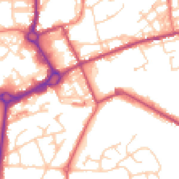
Daytime· 07:00 – 23:00
53.6dB
Night-time· 23:00 – 07:00
44.2dB