135 Mauldeth Road West, Withington, Manchester, M20 1BB
About 135 Mauldeth Road West
135 Mauldeth Road West is a property in Withington, Manchester, Manchester (M20 1BB). It has council tax band A.
Held since February 1997 — that's 29 years off the open market, well above the local norm. Across 1996–1997, sale prices on this property compounded at 100% per year.
Everything you need to know about 135 Mauldeth Road West
The true value, the hidden risks and the full sale history, in one report.
Pick your report · every report is £14.99
One time fee only - money back guarantee

The data behind every report


Energy performance
No EPC on record
This property doesn't have an Energy Performance Certificate yet. An EPC is required to sell or let — and unlocks our automated valuation.
Get a survey for this property
Level 2 HomeBuyer Report
We've checked 10 risk factors against the available data for this property and believe a Level 2 HomeBuyer Report could be a suitable option for you.
Planning history
135 Mauldeth Road West has no planning applications on record.
But the area is active
1 notable application nearby — larger schemes and conversions that could reshape the street. The report maps them all.
Sales history & valuation
135 Mauldeth Road West has more than doubled in price since the earliest registered sale in 1996.
£32,000
Growth on file: 100.0% per year over 1 year.
Sales timeline
14 February 1997Most recent
£32,000
+100.0%over 6 months12 August 1996
£16,000
Median price across the last 5 sales in M20 1BB: £242,000 (2025–2015).
Nearby sales in M20 1BB
117 Mauldeth Road West, Withington, Manchester, M20 1BB
Sold Jan 2025
£290,000143 Mauldeth Road West, Withington, Manchester, M20 1BB
Sold Oct 2024
£280,000133 Mauldeth Road West, Withington, Manchester, M20 1BB
Sold Mar 2021
£215,000121 Mauldeth Road West, Withington, Manchester, M20 1BB
Sold Dec 2020
£242,000119 Mauldeth Road West, Withington, Manchester, M20 1BB
Sold Nov 2015
£125,000
Everything you need to know about 135 Mauldeth Road West
The true value, the hidden risks and the full sale history, in one report.
Pick your report · every report is £14.99
One time fee only - money back guarantee
The data behind every report
Similar properties nearby
The neighbourhood at a glance
Nearest stop
0.1 km
Bosley Avenue — bus stop.
Closest school
0.4 km
St Kentigern's RC Primary School, a Voluntary Academy. 55 schools nearby.
Go deeper on the local area
A Local Area report breaks down crime, transport links, schools and air quality in depth.
Road noise across the postcode
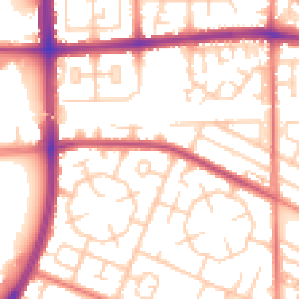
Daytime· 07:00 – 23:00
54.5dB

Night-time· 23:00 – 07:00
43.9dB