6 Curtis Street, Manchester, M19 3ND
About 6 Curtis Street
6 Curtis Street is a three-bedroom mid-terrace house in Manchester (M19 3ND). It has a recorded floor area of 72 m² (around 775 sq ft), construction records dating it to 1900-1929 and council tax band A. The latest certificate (June 2022) shows a D (score 62), on the cusp of jumping into the C band. The recommended improvements would push it to C (score 79). Period features are noted in the property record.
Across 1997–2022, sale prices on this property compounded at 9.1% per year. Today's modelled estimate of £271,000 is 12.7% above the 2022 sale price. On a £-per-square-foot basis, the last sale (£310/sq ft) was about 175.4% above the typical sold price in the postcode. Sold November 2022 for £240,500. That sale was during the post-pandemic price surge, when transactions cleared materially above pre-2020 trend.
Know exactly what you're buying at 6 Curtis Street
Before you offer, see what the listing won't tell you, the true value, the red flags and the full history.
Valuation
against the asking price
Risks
planning & flood
Sold prices
similar homes nearby
Trends
the local market
What this property has
Inside
- Bedrooms3
- Bathrooms1
- Dining roomYes
Outside
- Private gardenRear
- GarageYes
Building
- Period featuresYes
Energy performance
EPC Rating
Planning history
6 Curtis Street has no planning applications on record.
Notable planning nearby
3applications of note in the surrounding area
Sales history & valuation
6 Curtis Street has more than quadrupled in price since its earliest registered sale in 1997.
£271,000
Modelled from EPC, postcode comparables and a sale-price growth of 9.1% per year over 25 years.
£240,500
Growth on file: 9.1% per year over 25 years.
Sales timeline
7 November 2022Most recent
£240,500
+173.3%over 17 years3 February 2005
£88,000
+170.8%over 4 years6 July 2000
£32,500
+20.4%over 2 years21 August 1997
£27,000
Median price across the last 5 sales in M19 3ND: £236,500 (2024–2018).
Nearby sales in M19 3ND
Everything we know about 6 Curtis Street, in one report
What it's really worth, what could be wrong, and the planning, sales and area data in full.
- Am I paying too much?
- Is something wrong with it?
- Is the agent's story true?
- Will it hold its value?

Versus other Curtis Street homes
6 Curtis Street is notably below the street on floor area.
Price per m²
£3,340
Street avg £1,619
Floor Area
72 m²
Street avg 78 m²
Habitable Rooms
4 rooms
Street avg 5 rooms
CO₂ Emissions
3.6 t/year
Street avg 3.9 t/year
Similar properties nearby
1 Balleratt Street
M19 3DF
1 Charlton Road
M19 3DE
1 Cranage Road
M19 3LG
1 Baslow Avenue
M19 3GG
1 Bournville Grove
M19 3HJ
1 Barlow Road, Levenshulme
M19 3DH
1 Carrill Grove East
M19 3BT
1 Crayfield Road
M19 3NX
The neighbourhood at a glance
Rail-style transport is unusually close for this postcode.
Nearest stop
0.2 km
Broom Lane — bus stop.
Closest school
0.4 km
Chapel Street Community Primary School. 52 schools nearby.
Go deeper on the local area
The full report breaks down crime, transport links, schools and air quality in depth.
Road noise across the postcode
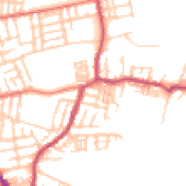
Daytime· 07:00 – 23:00
49.9dB

Night-time· 23:00 – 07:00
39.9dB