9h, St Marys Street, Hulme, Manchester, M15 5WB
About 9h
9h is a two-bedroom end-of-terrace house in Hulme, Manchester, Manchester (M15 5WB). It has a recorded floor area of 53 m² (around 570 sq ft), construction records dating it to 1996-2002 and council tax band A. At 53 m² this is the 16th smallest of 31 units on EPC record in the building, where floor areas span 46–74 m². The building's EPC ratings span D to C, with this unit at the top. The latest certificate (December 2019) shows a C (score 70). The rating has held steady at C across 2 certificates since October 2008. Between certificates, lighting went from Very Poor to Good; while roof efficiency dropped from Good to Average and window efficiency dropped from Good to Average. Main heating runs on electricity.
Held since December 2009 — that's 16 years off the open market, well above the local norm. That sale fell during the post-crash dip, which often skews comparisons against later neighbouring sales. Across 1998–2009, sale prices on this property compounded at 6.6% per year. Today's modelled estimate of £142,000 sits 57.8% above the 2009 sale of £90,000.
What this property has
Inside
- Bedrooms2
- Bathrooms1
Outside
- Private gardenYes
- ParkingAllocated
Everything you need to know about 9h
The true value, the hidden risks and the full sale history, in one report.
30-day money-back guarantee

The data behind every report


Energy performance
EPC Rating
Property Improvements
Changes detected from historical EPC data
Wall insulation upgraded
More low energy lighting installed
Planning history
9h has no planning applications on record.
The full report still covers planning activity across the surrounding area.
Sales history & valuation
9h has more than doubled in price since the earliest registered sale in 1998.
£142,000
Modelled from EPC, postcode comparables and a sale-price growth of 6.6% per year over 11 years.
£90,000
Growth on file: 6.6% per year over 11 years.
Sales timeline
23 December 2009Most recent
£90,000
+32.4%over 7 years9 May 2002
£68,000
+52.8%over 3 years4 December 1998
£44,500
Median price across the last 5 sales in M15 5WB: £140,000 (2025–2023).
Nearby sales in M15 5WB
9e, St Marys Street, Hulme, Manchester, M15 5WB
Sold Sept 2025
£150,00049 St Marys Street, Hulme, Manchester, M15 5WB
Sold Oct 2024
£140,00047 St Marys Street, Hulme, Manchester, M15 5WB
Sold Mar 2024
£130,00019 St Marys Street, Hulme, Manchester, M15 5WB
Sold Dec 2023
£185,00055 St Marys Street, Hulme, Manchester, M15 5WB
Sold Oct 2023
£134,950
Versus other St Marys Street homes
On epc rating, 9h runs well behind the street norm.
Price per m²
£1,698
Street avg £2,453
Floor Area
53 m²
Street avg 50 m²
Habitable Rooms
3 rooms
Street avg 3 rooms
CO₂ Emissions
3.1 t/year
Street avg 2.0 t/year
Everything you need to know about 9h
The true value, the hidden risks and the full sale history, in one report.
30-day money-back guarantee
The data behind every report
Similar properties nearby
The neighbourhood at a glance
Crime
1/mo
Steady year-on-year across the wider district.
Nearest stop
0.1 km
Loreto College — bus stop.
Closest school
0.2 km
Loreto College. 47 schools nearby.
Go deeper on the local area
The full report breaks down crime, transport links, schools and air quality in depth.
Road noise across the postcode
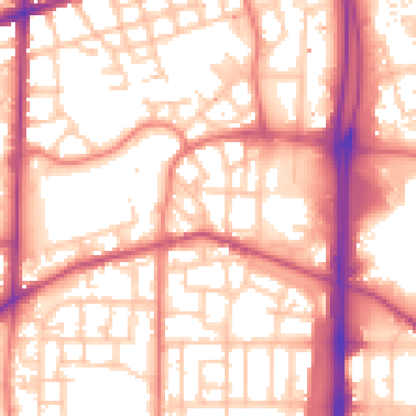
Daytime· 07:00 – 23:00
56.9dB

Night-time· 23:00 – 07:00
47.0dB