15 St Marys Street, Hulme, Manchester, M15 5WB
About 15 St Marys Street
15 St Marys Street is a three-bedroom semi-detached house in Hulme, Manchester, Manchester (M15 5WB). It has a recorded floor area of 68 m² (around 732 sq ft), construction records dating it to 1996-2002 and council tax band B. The latest certificate (August 2020) shows a D (score 68), on the cusp of jumping into the C band. The recommended improvements would lift it to B (score 86), a 2-band jump.
At 68 m² it's 29.5% larger than the typical home in the postcode (53 m² median across 30 EPCs). It lags the bulk of the postcode on energy efficiency (less efficient than 87% of similar EPCs). Across 2000–2020, sale prices on this property compounded at 4.7% per year. Today's modelled estimate of £256,000 is 45.5% above the 2020 sale price. On a £-per-square-foot basis, the last sale (£240/sq ft) was about 41.9% above the typical sold price in the postcode. Most recent transfer: September 2020 at £176,000.
What this property has
Inside
- Bedrooms3
- Bathrooms1
Everything you need to know about 15 St Marys Street
The true value, the hidden risks and the full sale history, in one report.
30-day money-back guarantee

The data behind every report


Energy performance
Recommended upgrades on file would lift this property by multiple EPC bands.
EPC Rating
Planning history
15 St Marys Street has no planning applications on record.
The full report still covers planning activity across the surrounding area.
Sales history & valuation
Sale price has at least doubled since 2000.
£256,000
Modelled from EPC, postcode comparables and a sale-price growth of 4.7% per year over 20 years.
£176,000
Growth on file: 4.7% per year over 20 years.
Sales timeline
17 September 2020Most recent
£176,000
+151.6%over 19 years22 October 2000
£69,950
Median price across the last 5 sales in M15 5WB: £140,000 (2025–2023).
Nearby sales in M15 5WB
9e, St Marys Street, Hulme, Manchester, M15 5WB
Sold Sept 2025
£150,00049 St Marys Street, Hulme, Manchester, M15 5WB
Sold Oct 2024
£140,00047 St Marys Street, Hulme, Manchester, M15 5WB
Sold Mar 2024
£130,00019 St Marys Street, Hulme, Manchester, M15 5WB
Sold Dec 2023
£185,00055 St Marys Street, Hulme, Manchester, M15 5WB
Sold Oct 2023
£134,950
Versus other St Marys Street homes
On habitable rooms, 15 St Marys Street stands well clear of the street.
Price per m²
£2,588
Street avg £2,134
Floor Area
68 m²
Street avg 60 m²
Habitable Rooms
5 rooms
Street avg 4 rooms
CO₂ Emissions
2.7 t/year
Street avg 2.3 t/year
Everything you need to know about 15 St Marys Street
The true value, the hidden risks and the full sale history, in one report.
30-day money-back guarantee
The data behind every report
Similar properties nearby
1 Ancroft Street
M15 5JW
1 Dunham Street
M15 5FX
1 Heron Street
M15 5PR
1 Drayton Street
M15 5LL
1 Dearden Street
M15 5LZ
1 Colin Murphy Road
M15 5RS
1 Betsham Street
M15 5JN
1 Bold Street, Hulme
M15 5QR
The neighbourhood at a glance
Crime
1/mo
Steady year-on-year across the wider district.
Nearest stop
0.1 km
Loreto College — bus stop.
Closest school
0.2 km
Loreto College. 47 schools nearby.
Go deeper on the local area
The full report breaks down crime, transport links, schools and air quality in depth.
Road noise across the postcode
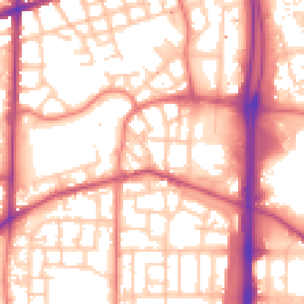
Daytime· 07:00 – 23:00
56.9dB

Night-time· 23:00 – 07:00
47.0dB