94 Bold Street, Hulme, Manchester, M15 5QH
About 94 Bold Street
94 Bold Street is a two-bedroom detached house in Hulme, Manchester, Manchester (M15 5QH). It has a recorded floor area of 60 m² (around 646 sq ft), construction records dating it to 2003-2006 and council tax band B. The latest certificate (August 2020) shows a C (score 77), near the top of the C band. Earlier certificates rated it B (September 2009); the latest reading is one band lower. Between certificates, hot-water efficiency dropped from Very Good to Good and lighting dropped from Very Good to Good. At 60 m² this is the 10th smallest of 45 units on EPC record in the building, where floor areas span 39–96 m². The building's EPC ratings span D to B across 45 units on file.
Untraded for 20 years, with the last transfer in November 2006. Today's modelled estimate of £165,000 is 16.2% above the 2006 sale price.
What this property has
Inside
- Bedrooms2
- Bathrooms2
Outside
- ParkingAllocated
Building
- ConciergeYes
- RefurbishedYes
Everything you need to know about 94 Bold Street
The true value, the hidden risks and the full sale history, in one report.
30-day money-back guarantee

The data behind every report


Energy performance
94 Bold Street's carbon output is low for the local stock.
EPC Rating
Planning history
94 Bold Street has no planning applications on record.
The full report still covers planning activity across the surrounding area.
Sales history & valuation
£165,000
Modelled from EPC, postcode comparables.
£141,950
Recorded with HM Land Registry.
Sales timeline
30 November 2006Most recent
£141,950
Median price across the last 5 sales in M15 5QH: £165,000 (2025–2023).
Nearby sales in M15 5QH
132 Bold Street, Hulme, Manchester, M15 5QH
Sold Aug 2025
£165,000130 Bold Street, Hulme, Manchester, M15 5QH
Sold Feb 2025
£315,00092 Bold Street, Hulme, Manchester, M15 5QH
Sold Sept 2024
£169,95066 Bold Street, Hulme, Manchester, M15 5QH
Sold Mar 2024
£155,00098 Bold Street, Hulme, Manchester, M15 5QH
Sold Mar 2023
£160,000
Versus other Bold Street homes
On years held, 94 Bold Street stands well clear of the street.
Price per m²
£2,366
Street avg £2,239
Floor Area
60 m²
Street avg 61 m²
Habitable Rooms
3 rooms
Street avg 3 rooms
CO₂ Emissions
1.5 t/year
Street avg 1.6 t/year
Everything you need to know about 94 Bold Street
The true value, the hidden risks and the full sale history, in one report.
30-day money-back guarantee
The data behind every report
Similar properties nearby
The neighbourhood at a glance
Crime
1/mo
Steady year-on-year across the wider district.
Nearest stop
0.2 km
Cornbrook Street — bus stop.
Closest school
0.2 km
Loreto College. 44 schools nearby.
Go deeper on the local area
The full report breaks down crime, transport links, schools and air quality in depth.
Road noise across the postcode
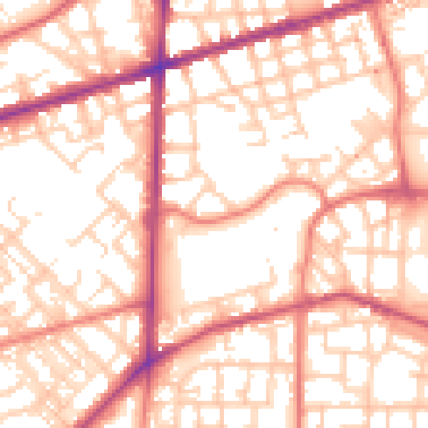
Daytime· 07:00 – 23:00
55.5dB

Night-time· 23:00 – 07:00
45.0dB