11 Mallow Street, Manchester, M15 5GE
About 11 Mallow Street
11 Mallow Street is a three-bedroom detached house in Manchester (M15 5GE). It has a recorded floor area of 67 m² (around 721 sq ft), construction records dating it to 1983-1990 and council tax band C. Other recorded features include a conservatory. The latest certificate (March 2020) shows a C (score 69), just inside the C band. The recommended improvements would push it to B (score 84).
Untraded for 27 years, with the last transfer in April 1999. Only one transfer is on record with HM Land Registry, suggesting it has stayed in the same hands for a long time. Today's modelled estimate of £310,000 sits 382.2% above the 1999 sale of £64,290. On a £-per-square-foot basis, the last sale (£89/sq ft) was about 30% below the postcode norm.
What this property has
Inside
- Bedrooms3
- Bathrooms2
- CloakroomYes
- EnsuiteYes
- ConservatoryYes
Outside
- Private gardenRear
- ParkingAllocated
Building
- RefurbishedYes
Everything you need to know about 11 Mallow Street
The true value, the hidden risks and the full sale history, in one report.
30-day money-back guarantee

The data behind every report


Energy performance
EPC Rating
Planning history
11 Mallow Street has no planning applications on record.
The full report still covers planning activity across the surrounding area.
Sales history & valuation
11 Mallow Street's modelled value sits at over four times its earliest registered sale price (1999).
£310,000
Modelled from EPC, postcode comparables.
£64,290
Recorded with HM Land Registry.
Sales timeline
21 April 1999Most recent
£64,290
Median price across the last 5 sales in M15 5GE: £160,000 (2025–2017).
Nearby sales in M15 5GE
Flat 4, 21 Mallow Street, Manchester, M15 5GE
Sold Mar 2025
£155,00015 Mallow Street, Manchester, M15 5GE
Sold Oct 2024
£300,00017 Mallow Street, Manchester, M15 5GE
Sold Nov 2022
£220,000Flat 5, 21 Mallow Street, Manchester, M15 5GE
Sold Jun 2017
£120,000Flat 3, 21 Mallow Street, Manchester, M15 5GE
Sold Mar 2017
£160,000
Versus other Mallow Street homes
11 Mallow Street outperforms the street on years held by a wide margin.
Price per m²
£960
Street avg £2,130
Floor Area
67 m²
Street avg 66 m²
Habitable Rooms
6 rooms
Street avg 5 rooms
CO₂ Emissions
2.5 t/year
Street avg 2.1 t/year
Everything you need to know about 11 Mallow Street
The true value, the hidden risks and the full sale history, in one report.
30-day money-back guarantee
The data behind every report
Similar properties nearby
The neighbourhood at a glance
Crime
1/mo
Steady year-on-year across the wider district.
Nearest stop
0.1 km
St Wilfrid's — bus stop.
Closest school
0.3 km
St Wilfrid's RC Primary School. 45 schools nearby.
Go deeper on the local area
The full report breaks down crime, transport links, schools and air quality in depth.
Road noise across the postcode
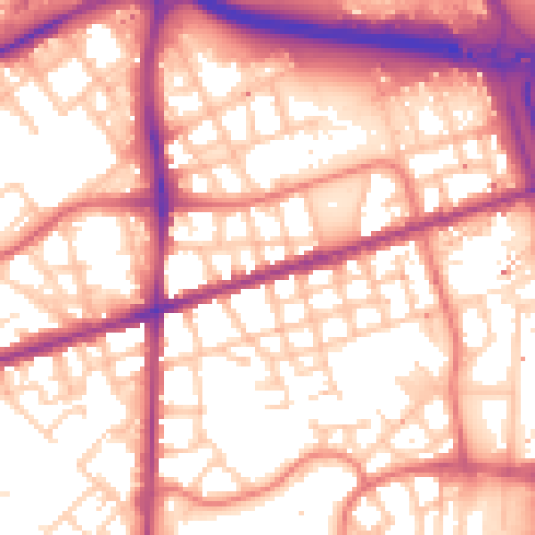
Daytime· 07:00 – 23:00
57.6dB

Night-time· 23:00 – 07:00
48.1dB