Are you a property professional?Get qualified leads from motivated homeowners.
Get started12 Belgrave Avenue, Manchester, M14 5DL
4 sales on record
About 12 Belgrave Avenue
A plain-English summary derived from public records, EPC certificates, sold prices and local data.
12 Belgrave Avenue is a six-bedroom mid-terrace house in Manchester (M14 5DL). It has a recorded floor area of 298 m² (around 3208 sq ft), construction records dating it to before 1900 and council tax band B. The latest certificate (February 2017) shows an E (score 44), well below the UK norm with real room to improve. The rating has held steady at E across 3 certificates since February 2009. Between certificates, hot-water efficiency went from Poor to Good, lighting went from Average to Very Good and main heating went from Average to Good. The recommended improvements would push it to D (score 61).
It hasn't traded since September 2007, a hold of 19 years that's notably long for the area. Across the public record there are 4 sales, relatively high churn for a single property. That sale landed at the peak of the pre-credit-crunch market, which is a useful reference point when interpreting the price. Sale prices here have outpaced Manchester HPI: 15.2% per year against 0% for the wider region. Today's modelled estimate of £458,000 sits 108.2% above the 2007 sale of £220,000. On a £-per-square-foot basis, the last sale (£69/sq ft) was about 28% below the postcode norm. At 298 m² the property is well over the postcode median (133 m² across 12 EPCs), placing it in the larger end of the local stock. On energy efficiency it sits in the bottom 10% of properties in this postcode — significant headroom for improvement.
What this property has
Pulled from EPC certificates, claim submissions and our property model. Empty categories are hidden — we only show what's known.
Inside
- Bedrooms6
- Bathrooms2
- Utility roomYes
Outside
- Private garden
Energy performance
Every EPC certificate filed against this property — current rating, recorded improvements, and where there's headroom to reach a higher band.
12 Belgrave Avenue sits at the bottom of the postcode for energy efficiency — meaningful headroom to improve.
Current Certificate(1 of 3)
Feb 2017
EPC Rating
A
B
C
D
E
E44
F
G
Main Heating
Gas
Main Fuel
Gas
Hot Water
Good
Windows
Average
CO2 Emissions
18.0 t/year
Occupancy
Rented
Sales history & valuation
Recorded transactions, our model's current estimate, and a quick read on what neighbouring properties have sold for.
Sale price has grown by over 3x since 1998.
Current estimate
See how we calculated this£458,000
Modelled from EPC, postcode comparables and a sale-price growth of 15.2% per year over 9 years.
Last sold (2007)
£220,000
Growth on file: 15.2% per year over 9 years.
Sales timeline
Versus other Belgrave Avenue homes
Four headline reads against 12 similar houses on this street, drawn from the latest EPC and Land Registry data.
Floor Area for 12 Belgrave Avenue runs comfortably ahead of the street norm.
Price per m²
£738
Street avg £1,413
Floor Area
298 m²
Street avg 138 m²
Habitable Rooms
10 rooms
Similar properties nearby
A handful of close matches in the same postcode area, ranked by likeness on bedrooms, type and floor area.
The neighbourhood at a glance
A condensed read of the local area. Each tile links through to the full breakdown on the Manchester district page.
Crime
1/mo
Steady year-on-year across the wider district.
Nearest stop
0.2 km
Upper Kent Road — bus stop.
Road noise across the postcode
Modelled day and night-time noise levels around M14 5DL from Defra's strategic mapping. The pin marks this postcode's centroid.
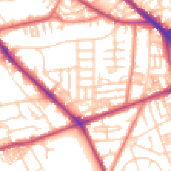
Daytime· 07:00 – 23:00
54.9dB

Everything within walking distance
Schools, transport stops and scenic spots near this property — 92 points of interest in total.
Beautiful places to visit nearby
Curated scenic spots within reach of this postcode, served by Beautifulplaces.ai. Photography and tagging come from their open dataset.
Common questions
The questions buyers, sellers and homeowners most often ask about 12 Belgrave Avenue, Manchester, M14 5DL. Each answer is also embedded as structured data for search engines.