8 Carbis Avenue, Manchester, M11 3DP
About 8 Carbis Avenue
8 Carbis Avenue is a two-bedroom property in Manchester (M11 3DP). It has a recorded floor area of 70 m² (around 753 sq ft). The latest certificate (October 2016) returns a B (score 82), comfortably above the UK average. The recommended improvements would push it to A (score 95). The home occupies a corner plot.
Today's modelled estimate of £250,000 sits 60.3% above the 2016 sale of £155,995. 10 years since the last transfer (October 2016).
Know exactly what you're buying at 8 Carbis Avenue
Before you offer, see what the listing won't tell you, the true value, the red flags and the full history.
Valuation
against the asking price
Risks
planning & flood
Sold prices
similar homes nearby
Trends
the local market
What this property has
Inside
- Bedrooms2
- Bathrooms1
Outside
- Private gardenYes
- ParkingOff road
- Corner plotYes
Building
- Heating systemGas
- RefurbishedYes
Energy performance
8 Carbis Avenue's carbon output is low for the local stock.
EPC Rating
Planning history
8 Carbis Avenue has no planning applications on record.
Notable planning nearby
2applications of note in the surrounding area
Sales history & valuation
8 Carbis Avenue valuation sits well clear of the typical sold price in this postcode.
£250,000
Modelled from EPC, postcode comparables.
£155,995
Recorded with HM Land Registry.
Sales timeline
23 October 2016Most recent
£155,995
Median price across the last 5 sales in M11 3DP: £225,000 (2023–2019).
Nearby sales in M11 3DP
Everything we know about 8 Carbis Avenue, in one report
What it's really worth, what could be wrong, and the planning, sales and area data in full.
- Am I paying too much?
- Is something wrong with it?
- Is the agent's story true?
- Will it hold its value?

Versus other Carbis Avenue homes
On floor area, 8 Carbis Avenue runs well behind the street norm.
Price per m²
£2,229
Street avg £2,488
Floor Area
70 m²
Street avg 80 m²
CO₂ Emissions
1.2 t/year
Street avg 1.4 t/year
Years Held
10 years
Street avg 8 years
Similar properties nearby
The neighbourhood at a glance
Nearest stop
0.2 km
Stainforth Street — bus stop.
Closest school
0.2 km
Ashbury Meadow Primary School. 49 schools nearby.
Go deeper on the local area
The full report breaks down crime, transport links, schools and air quality in depth.
Road noise across the postcode
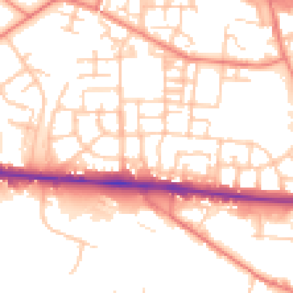
Daytime· 07:00 – 23:00
54.0dB

Night-time· 23:00 – 07:00
44.2dB