67a, Harley Street, Manchester, M11 1AS
About 67a
67a is a mid-terrace house in Manchester (M11 1AS). It has a recorded floor area of 88 m² (around 947 sq ft) and construction records dating it to 1930-1949. The latest certificate (February 2018) shows a D (score 55), a step below the typical UK home. The recommended improvements would push it to C (score 80).
It hasn't traded since October 2002, a hold of 24 years that's notably long for the area. Across 1999–2002, sale prices on this property compounded at 3% per year. Today's modelled estimate of £202,000 sits 1162.5% above the 2002 sale of £16,000. On a £-per-square-foot basis, the last sale (£17/sq ft) was about 75.2% below the postcode norm.
Know exactly what you're buying at 67a
Before you offer, see what the listing won't tell you, the true value, the red flags and the full history.
Valuation
against the asking price
Risks
planning & flood
Sold prices
similar homes nearby
Trends
the local market
Energy performance
EPC Rating
Planning history
67a has no planning applications on record.
Notable planning nearby
3applications of note in the surrounding area
Sales history & valuation
67a's modelled value sits at over four times its earliest registered sale price (1999).
£202,000
Modelled from EPC, postcode comparables and a sale-price growth of 3.0% per year over 3 years.
£16,000
Growth on file: 3.0% per year over 3 years.
Sales timeline
29 October 2002Most recent
£16,000
+100.0%over 2 years19 April 2000
£8,000
-44.8%over 9 months18 July 1999
£14,500
Median price across the last 5 sales in M11 1AS: £155,000 (2024–2021).
Nearby sales in M11 1AS
Everything we know about 67a, in one report
What it's really worth, what could be wrong, and the planning, sales and area data in full.
- Am I paying too much?
- Is something wrong with it?
- Is the agent's story true?
- Will it hold its value?

Versus other Harley Street homes
Price per m² for 67a lags the street by a wide margin.
Price per m²
£182
Street avg £1,024
Floor Area
88 m²
Street avg 83 m²
Habitable Rooms
5 rooms
Street avg 4 rooms
CO₂ Emissions
5.0 t/year
Street avg 3.8 t/year
Similar properties nearby
The neighbourhood at a glance
Rail-style transport is unusually close for this postcode.
Nearest stop
0.3 km
Louisa Street — bus stop.
Closest school
0.2 km
Higher Openshaw Community School. 50 schools nearby.
Go deeper on the local area
The full report breaks down crime, transport links, schools and air quality in depth.
Road noise across the postcode
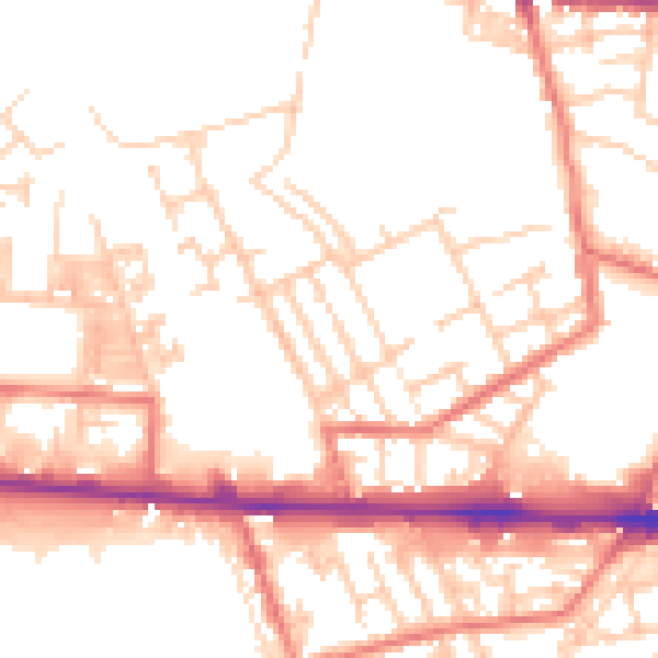
Daytime· 07:00 – 23:00
52.6dB

Night-time· 23:00 – 07:00
42.3dB