62 68, Flat 8, West Street, Dunstable, LU6 1TA
About 62 68
62 68 is a semi-detached house in Dunstable (LU6 1TA). It has a recorded floor area of 72 m² (around 775 sq ft) and construction records dating it to 2007 onwards. At 72 m² this is the largest unit on EPC record across 62 68 (39–72 m²). The building's EPC ratings span E to C across 9 units on file. The latest certificate (August 2020) shows a D (score 58), a step below the typical UK home. The rating has held steady at D across 3 certificates since March 2011. Between certificates, roof efficiency went from Good to Very Good, window efficiency went from Good to Very Good and lighting went from Poor to Very Good. Main heating runs on electricity: electricity, unspecified tariff.
Across 2005–2024, sale prices on this property compounded at 6.1% per year. Today's modelled estimate of £302,000 is 67.7% below the 2024 sale of £935,000, below the original sale price, which typically signals condition or completion-status changes worth verifying. On a £-per-square-foot basis, the last sale (£1,206/sq ft) was about 376.2% above the typical sold price in the postcode. At 72 m² the property is well over the postcode median (49 m² across 20 EPCs), placing it in the larger end of the local stock. 7 planning records sit against the property, 6 approved, 0 refused. Past consents include change of use to residential, an extension and partial demolition, meaningful when judging how the property has evolved. Last sale on file: £935,000 in June 2024.
Everything you need to know about 62 68
The true value, the hidden risks and the full sale history, in one report.
30-day money-back guarantee

The data behind every report


Energy performance
EPC Rating
Property Improvements
Changes detected from historical EPC data
Upgraded to gas central heating
Connected to mains gas supply
Heating controls upgraded for better temperature management
Hot water system upgraded
Heating system changed
Changed to a more efficient fuel source
Heating controls changed
Hot water system changed
High performance glazing installed
Cavity wall insulation installed
Loft insulation upgraded to recommended levels
More low energy lighting installed
Planning history
Planning history includes recorded demolition works, indicating a major rebuild phase at this address.
- Mar 2020ConditionsIn report
Discharge of Condition 4 to Planning Permission CB/18/04786/Full (Change of use of ground floor from commercial to residential use for the development of 3 residential apartments) Condition 4 - Double glazed PVCu windows opening inwards - RAL 7016 (grey). Rendered stalriser and pilasters decorated in white masonry paint. Grey glazed aluminium entrance door to match existing.
- Documents
- 1 doc on file
- Reference
- CB/20/00875/DOC
- Mar 2019Change of UseFullIn report
Change of use of ground floor from commercial to residential use for the development of 3 residential apartments.
- Documents
- 13 docs on file
- Reference
- CB/18/04786/FULL
We flagged 2 things worth checking at 62 68
Independent checks surfaced things a buyer would want to understand before offering. The report explains each one in full, with the underlying data and what to ask.
- Signs of HMO activity in the area
- Larger development activity nearby
30-day money-back guarantee
Sales history & valuation
Latest sale on 62 68 was the highest on Land Registry record across the postcode.
£302,000
Modelled from EPC, postcode comparables and a sale-price growth of 6.1% per year over 19 years.
£935,000
Growth on file: 6.1% per year over 19 years.
Sales timeline
24 June 2024Most recent
£935,000
+70.0%over 7 years4 November 2016
£550,000
+83.3%over 11 years4 May 2005
£300,000
Median price across the last 5 sales in LU6 1TA: £250,000 (2022–2018).
Nearby sales in LU6 1TA
Versus other West Street homes
62 68 is notably below the street on years held.
Price per m²
£12,986
Street avg £4,652
Floor Area
72 m²
Street avg 49 m²
CO₂ Emissions
3.2 t/year
Street avg 2.6 t/year
Years Held
2 years
Street avg 14 years
Everything you need to know about 62 68
The true value, the hidden risks and the full sale history, in one report.
30-day money-back guarantee
The data behind every report
Similar properties nearby
3 5, Flat 5, High Street North
LU6 1HX
153 157, Flat, High Street North
LU6 1JW
169a, Flat, West Street
LU6 1PD
3 5, Flat 1, High Street North
LU6 1HX
3 5, Flat 2, High Street North
LU6 1HX
3 5, Flat 3, High Street North
LU6 1HX
3 5, Flat 4, High Street North
LU6 1HX
46 48, Flat 3, West Street
LU6 1TA
The neighbourhood at a glance
Crime
3/mo
Steady year-on-year across the wider district.
Nearest stop
0.1 km
West Street — bus stop.
Closest school
0.2 km
Dunstable Icknield Lower School. 24 schools nearby.
Go deeper on the local area
The full report breaks down crime, transport links, schools and air quality in depth.
Road noise across the postcode
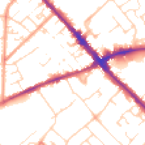
Daytime· 07:00 – 23:00
51.5dB

Night-time· 23:00 – 07:00
41.4dB