34 West Street, Dunstable, LU6 1TA
About 34 West Street
34 West Street is a mid-terrace house in Dunstable (LU6 1TA). It has a recorded floor area of 55 m² (around 592 sq ft) and construction records dating it to 1900-1929. At 55 m² this is the 15th smallest of 21 units on EPC record in the building, where floor areas span 23–72 m². The building's EPC ratings span E to C across 21 units on file. The latest certificate (August 2017) shows a D (score 63), on the cusp of jumping into the C band. The recommended improvements would push it to C (score 76).
Across 2015–2018, sale prices on this property compounded at -8.2% per year. Today's modelled estimate of £206,000 sits 134.1% above the 2018 sale of £88,000. On a £-per-square-foot basis, the last sale (£149/sq ft) was about 60.7% below the postcode norm. 6 planning records sit against the property, 5 approved, 0 refused. Past consents include change of use to residential, meaningful when judging how the property has evolved. 8 years since the last transfer (April 2018).
Everything you need to know about 34 West Street
The true value, the hidden risks and the full sale history, in one report.
30-day money-back guarantee

The data behind every report


Energy performance
EPC Rating
Planning history
34 West Street has been through 5 approved planning applications — a well-evolved property.
- Mar 2017Change of UseFullIn report
Change of use of first floor from A2/ Offices to residential, to form 1 bedroom flat
- Reference
- CB/15/03899/FULL
- Mar 2017Change of UseHeritageIn report
Change of use of first floor from A2/ Offices to residential, to form 1 bedroom flat
- Reference
- CB/15/03900/LB
We flagged 2 things worth checking at 34 West Street
Independent checks surfaced things a buyer would want to understand before offering. The report explains each one in full, with the underlying data and what to ask.
- Signs of HMO activity in the area
- Larger development activity nearby
30-day money-back guarantee
Sales history & valuation
£206,000
Modelled from EPC, postcode comparables and a sale-price growth of -8.2% per year over 3 years.
£88,000
Growth on file: -8.2% per year over 3 years.
Sales timeline
12 April 2018Most recent
£88,000
-24.1%over 3 years16 January 2015
£116,000
Median price across the last 5 sales in LU6 1TA: £340,000 (2024–2020).
Nearby sales in LU6 1TA
Versus other West Street homes
34 West Street is notably below the street on price per m².
Price per m²
£1,600
Street avg £6,550
Floor Area
55 m²
Street avg 49 m²
Habitable Rooms
3 rooms
Street avg 3 rooms
CO₂ Emissions
3.0 t/year
Street avg 2.6 t/year
Everything you need to know about 34 West Street
The true value, the hidden risks and the full sale history, in one report.
30-day money-back guarantee
The data behind every report
Similar properties nearby
The neighbourhood at a glance
Crime
3/mo
Steady year-on-year across the wider district.
Nearest stop
0.1 km
West Street — bus stop.
Closest school
0.2 km
Dunstable Icknield Lower School. 24 schools nearby.
Go deeper on the local area
The full report breaks down crime, transport links, schools and air quality in depth.
Road noise across the postcode
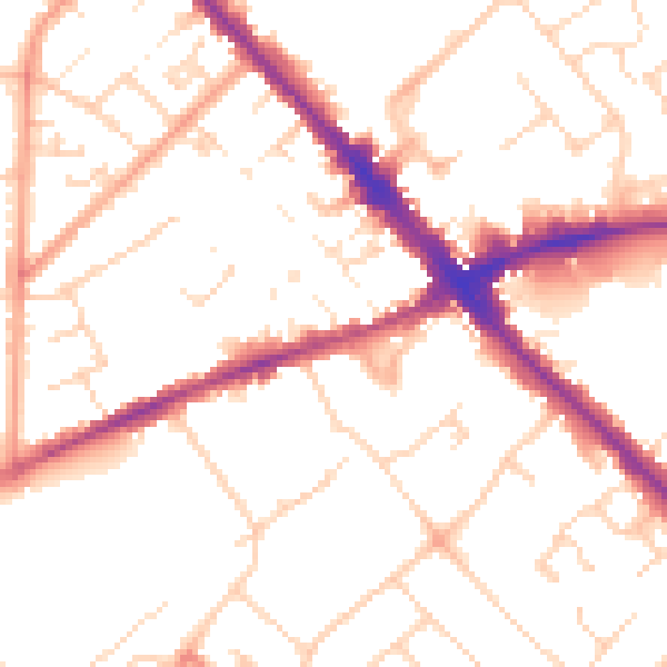
Daytime· 07:00 – 23:00
51.5dB

Night-time· 23:00 – 07:00
41.4dB