60a, West Street, Dunstable, LU6 1TA
About 60a
60a is a one-bedroom mid-terrace house in Dunstable (LU6 1TA). It has a recorded floor area of 48 m² (around 517 sq ft), construction records dating it to 1900-1929 and council tax band A. At 48 m² this is the 10th smallest of 21 units on EPC record in the building, where floor areas span 23–72 m². The building's EPC ratings span E to C, with this unit at the bottom. The latest certificate (June 2021) shows an E (score 50), well below the UK norm with real room to improve. The recommended improvements would lift it to C (score 73), a 2-band jump. Main heating runs on electricity.
Held since April 2003 — that's 23 years off the open market, well above the local norm. On energy efficiency it sits in the bottom 10% of properties in this postcode — significant headroom for improvement. Today's modelled estimate of £148,000 sits 55.8% above the 2003 sale of £95,000. On a £-per-square-foot basis, the last sale (£184/sq ft) was about 50.2% below the postcode norm.
What this property has
Inside
- Bedrooms1
Everything you need to know about 60a
The true value, the hidden risks and the full sale history, in one report.
30-day money-back guarantee

The data behind every report


Energy performance
60a sits at the bottom of the postcode for energy efficiency — meaningful headroom to improve.
EPC Rating
Planning history
60a has no planning applications on record.
Notable planning nearby
7applications of note in the surrounding area
We flagged 2 things worth checking at 60a
Independent checks surfaced things a buyer would want to understand before offering. The report explains each one in full, with the underlying data and what to ask.
- Signs of HMO activity in the area
- Larger development activity nearby
30-day money-back guarantee
Sales history & valuation
£148,000
Modelled from EPC, postcode comparables.
£95,000
Recorded with HM Land Registry.
Sales timeline
30 April 2003Most recent
£95,000
Median price across the last 5 sales in LU6 1TA: £340,000 (2024–2020).
Nearby sales in LU6 1TA
Versus other West Street homes
Years Held for 60a runs comfortably ahead of the street norm.
Price per m²
£1,979
Street avg £6,486
Floor Area
48 m²
Street avg 50 m²
Habitable Rooms
2 rooms
Street avg 3 rooms
CO₂ Emissions
3.8 t/year
Street avg 2.6 t/year
Everything you need to know about 60a
The true value, the hidden risks and the full sale history, in one report.
30-day money-back guarantee
The data behind every report
Similar properties nearby
1 Aynscombe Close
LU6 1FA
1 Bank Avenue
LU6 1FR
1 Catchacre
LU6 1QD
1 Brook Close
LU6 1HD
1 Beecroft Way
LU6 1ED
1 Albion Mews, Albion Street
LU6 1SH
1 Benning Avenue
LU6 1PH
1 Church Green, Totternhoe
LU6 1RF
The neighbourhood at a glance
Crime
3/mo
Steady year-on-year across the wider district.
Nearest stop
0.1 km
West Street — bus stop.
Closest school
0.2 km
Dunstable Icknield Lower School. 24 schools nearby.
Go deeper on the local area
The full report breaks down crime, transport links, schools and air quality in depth.
Road noise across the postcode
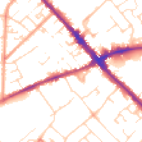
Daytime· 07:00 – 23:00
51.5dB

Night-time· 23:00 – 07:00
41.4dB