15 Chelsworth Close, Luton, LU2 9SU
About 15 Chelsworth Close
15 Chelsworth Close is a two-bedroom semi-detached house in Luton (LU2 9SU). It has a recorded floor area of 53 m² (around 570 sq ft), construction records dating it to 1976-1982 and council tax band C. The latest certificate (January 2021) shows a C (score 72). The recommended improvements would push it to B (score 90).
A recent sale: £275,000 in January 2025. Across 2021–2025, sale prices on this property compounded at 4.6% per year. On a £-per-square-foot basis, the last sale (£482/sq ft) was about 216% above the typical sold price in the postcode.
What this property has
Inside
- Bedrooms2
- Bathrooms1
Outside
- ParkingYes
Building
- RefurbishedYes
Everything you need to know about 15 Chelsworth Close
The true value, the hidden risks and the full sale history, in one report.
30-day money-back guarantee

The data behind every report


Energy performance
EPC Rating
Planning history
15 Chelsworth Close has no planning applications on record.
Notable planning nearby
1applications of note in the surrounding area
Sales history & valuation
Latest sale on 15 Chelsworth Close was the highest on Land Registry record across the postcode.
£299,000
Modelled from EPC, postcode comparables and a sale-price growth of 4.6% per year over 4 years.
£275,000
Growth on file: 4.6% per year over 4 years.
Sales timeline
9 January 2025Most recent
£275,000
+18.3%over 3 years7 April 2021
£232,500
Median price across the last 5 sales in LU2 9SU: £230,000 (2025–2016).
Nearby sales in LU2 9SU
Versus other Chelsworth Close homes
On price per m², 15 Chelsworth Close stands well clear of the street.
Price per m²
£5,189
Street avg £2,963
Floor Area
53 m²
Street avg 58 m²
Habitable Rooms
4 rooms
Street avg 4 rooms
CO₂ Emissions
1.9 t/year
Street avg 2.3 t/year
Everything you need to know about 15 Chelsworth Close
The true value, the hidden risks and the full sale history, in one report.
30-day money-back guarantee
The data behind every report
Similar properties nearby
1 Baylam Dell
LU2 9ST
1 Carteret Road
LU2 9JY
1 Barnston Close
LU2 9RZ
1 Byron Close, Ashcroft Road
LU2 9AE
1 Chelsworth Close
LU2 9SU
1 Eastcott Close
LU2 9JP
1 Chertsey Close
LU2 9JD
1 Dovehouse Hill
LU2 9ES
The neighbourhood at a glance
Daytime road noise here sits well below conversation level — a quiet pocket of the postcode.
Crime
6/mo
Steady year-on-year across the wider district.
Nearest stop
0.1 km
Raynham Way Community Centre — bus stop.
Closest school
0.4 km
Wigmore Primary. 16 schools nearby.
Go deeper on the local area
The full report breaks down crime, transport links, schools and air quality in depth.
Road noise across the postcode
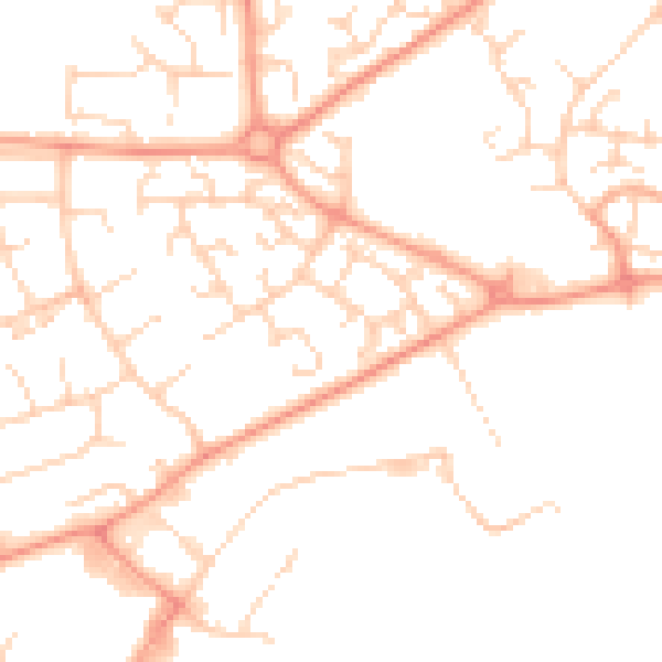
Daytime· 07:00 – 23:00
49.2dB

Night-time· 23:00 – 07:00
37.6dB