1 Hanswick Close, Luton, LU2 9EQ
About 1 Hanswick Close
1 Hanswick Close is a semi-detached house in Luton (LU2 9EQ). It has a recorded floor area of 83 m² (around 893 sq ft), construction records dating it to 1950-1966 and council tax band B. The latest certificate (June 2018) shows a D (score 55), a step below the typical UK home. The recommended improvements would push it to C (score 75).
It changed hands recently, sold February 2025 for £271,000. Across 2005–2025, sale prices on this property compounded at 4.3% per year. Today's modelled estimate of £300,000 is 10.7% above the 2025 sale price. On a £-per-square-foot basis, the last sale (£303/sq ft) was about 76.3% above the typical sold price in the postcode. One historical planning record sits against the property in 2007.
Everything you need to know about 1 Hanswick Close
The true value, the hidden risks and the full sale history, in one report.
30-day money-back guarantee

The data behind every report


Energy performance
EPC Rating
Planning history
- May 2007New BuildOutlineIn report
Development of land for residential purposes - Erection of 1 three-bedroom detached dwellinghouse.
- Documents
- 5 docs on file
- Reference
- 07/00426/OUT
What's in 1 Hanswick Close, Luton, LU2 9EQ's planning history?
Refusals, disputes and full decisions on this property and nearby, in the report.
Sales history & valuation
1 Hanswick Close has more than doubled in price since the earliest registered sale in 2005.
£300,000
Modelled from EPC, postcode comparables and a sale-price growth of 4.3% per year over 20 years.
£271,000
Growth on file: 4.3% per year over 20 years.
Sales timeline
18 February 2025Most recent
£271,000
+83.1%over 18 years30 March 2006
£148,000
+25.4%over 1 year28 February 2005
£118,000
Median price across the last 5 sales in LU2 9EQ: £250,000 (2022–2015).
Versus other Hanswick Close homes
Years Held for 1 Hanswick Close lags the street by a wide margin.
Price per m²
£3,265
Street avg £2,661
Floor Area
83 m²
Street avg 95 m²
Habitable Rooms
4 rooms
Street avg 5 rooms
CO₂ Emissions
5.1 t/year
Street avg 3.3 t/year
Everything you need to know about 1 Hanswick Close
The true value, the hidden risks and the full sale history, in one report.
30-day money-back guarantee
The data behind every report
Similar properties nearby
The neighbourhood at a glance
Crime
6/mo
Steady year-on-year across the wider district.
Nearest stop
0.1 km
Yeovil Road — bus stop.
Closest school
0.2 km
Ramridge Primary School. 27 schools nearby.
Go deeper on the local area
The full report breaks down crime, transport links, schools and air quality in depth.
Road noise across the postcode
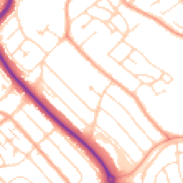
Daytime· 07:00 – 23:00
50.9dB

Night-time· 23:00 – 07:00
40.3dB