17 Clevedon Road, Luton, LU2 9EB
About 17 Clevedon Road
17 Clevedon Road is a three-bedroom semi-detached house in Luton (LU2 9EB). It has a recorded floor area of 79 m² (around 850 sq ft), construction records dating it to 1950-1966 and council tax band C. The latest certificate (June 2024) shows a D (score 65), on the cusp of jumping into the C band. The recommended improvements would push it to C (score 78). Records show the property has been extended at some point in its history.
Untraded for 24 years, with the last transfer in October 2002. Across 2002–2002, sale prices on this property compounded at 55.9% per year. Today's modelled estimate of £364,000 sits 174.7% above the 2002 sale of £132,500.
What this property has
Inside
- Bedrooms3
- Bathrooms1
- Open-plan layoutYes
- Dining roomYes
- EnsuiteYes
Outside
- Private gardenYes
Building
- Previously extendedYes
Everything you need to know about 17 Clevedon Road
The true value, the hidden risks and the full sale history, in one report.
30-day money-back guarantee

The data behind every report


Energy performance
EPC Rating
Planning history
17 Clevedon Road has no planning applications on record.
Notable planning nearby
1applications of note in the surrounding area
We flagged 1 thing worth checking at 17 Clevedon Road
Independent checks surfaced things a buyer would want to understand before offering. The report explains each one in full, with the underlying data and what to ask.
- Recent ownership pattern worth a look
30-day money-back guarantee
Sales history & valuation
17 Clevedon Road's modelled value sits at over four times its earliest registered sale price (2002).
£364,000
Modelled from EPC, postcode comparables and a sale-price growth of 55.9% per year over 1 year.
£132,500
Growth on file: 55.9% per year over 1 year.
Sales timeline
3 October 2002Most recent
£132,500
+55.9%over 6 months20 March 2002
£85,000
Median price across the last 5 sales in LU2 9EB: £325,000 (2025–2019).
Versus other Clevedon Road homes
Years Held for 17 Clevedon Road runs comfortably ahead of the street norm.
Price per m²
£1,677
Street avg £2,494
Floor Area
79 m²
Street avg 89 m²
Habitable Rooms
5 rooms
Street avg 5 rooms
CO₂ Emissions
3.7 t/year
Street avg 4.3 t/year
Everything you need to know about 17 Clevedon Road
The true value, the hidden risks and the full sale history, in one report.
30-day money-back guarantee
The data behind every report
Similar properties nearby
The neighbourhood at a glance
Crime
6/mo
Steady year-on-year across the wider district.
Nearest stop
0.2 km
Yeovil Road — bus stop.
Closest school
0.1 km
Ramridge Primary School. 28 schools nearby.
Go deeper on the local area
The full report breaks down crime, transport links, schools and air quality in depth.
Road noise across the postcode
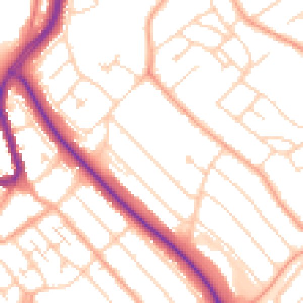
Daytime· 07:00 – 23:00
52.0dB

Night-time· 23:00 – 07:00
41.4dB