43 Clevedon Road, Luton, LU2 9EB
About 43 Clevedon Road
43 Clevedon Road is a three-bedroom semi-detached house in Luton (LU2 9EB). It has a recorded floor area of 88 m² (around 947 sq ft), construction records dating it to 1930-1949 and council tax band C. The latest certificate (July 2021) shows a D (score 65), on the cusp of jumping into the C band. The recommended improvements would lift it to B (score 81), a 2-band jump. Other recorded features include a conservatory.
Across 2004–2022, sale prices on this property compounded at 5% per year. Today's modelled estimate of £429,000 is 10% above the 2022 sale price. On a £-per-square-foot basis, the last sale (£412/sq ft) was about 165% above the typical sold price in the postcode. Last sale on file: £390,000 in March 2022. That sale was during the post-pandemic price surge, when transactions cleared materially above pre-2020 trend.
What this property has
Inside
- Bedrooms3
- Bathrooms1
- Open-plan layoutYes
- Dining roomYes
- CloakroomYes
- ConservatoryYes
Outside
- Private gardenYes
- ParkingOff road
Building
- RefurbishedYes
Everything you need to know about 43 Clevedon Road
The true value, the hidden risks and the full sale history, in one report.
30-day money-back guarantee

The data behind every report


Energy performance
Recommended upgrades on file would lift this property by multiple EPC bands.
EPC Rating
Planning history
43 Clevedon Road has no planning applications on record.
Notable planning nearby
1applications of note in the surrounding area
Sales history & valuation
Sale price has at least doubled since 2004.
£429,000
Modelled from EPC, postcode comparables and a sale-price growth of 5.0% per year over 18 years.
£390,000
Growth on file: 5.0% per year over 18 years.
Sales timeline
25 March 2022Most recent
£390,000
+136.4%over 17 years24 June 2004
£165,000
Median price across the last 5 sales in LU2 9EB: £318,000 (2025–2019).
Versus other Clevedon Road homes
Price per m² for 43 Clevedon Road runs comfortably ahead of the street norm.
Price per m²
£4,432
Street avg £2,384
Floor Area
88 m²
Street avg 88 m²
Habitable Rooms
5 rooms
Street avg 5 rooms
CO₂ Emissions
3.4 t/year
Street avg 4.3 t/year
Everything you need to know about 43 Clevedon Road
The true value, the hidden risks and the full sale history, in one report.
30-day money-back guarantee
The data behind every report
Similar properties nearby
The neighbourhood at a glance
Crime
6/mo
Steady year-on-year across the wider district.
Nearest stop
0.2 km
Yeovil Road — bus stop.
Closest school
0.1 km
Ramridge Primary School. 28 schools nearby.
Go deeper on the local area
The full report breaks down crime, transport links, schools and air quality in depth.
Road noise across the postcode
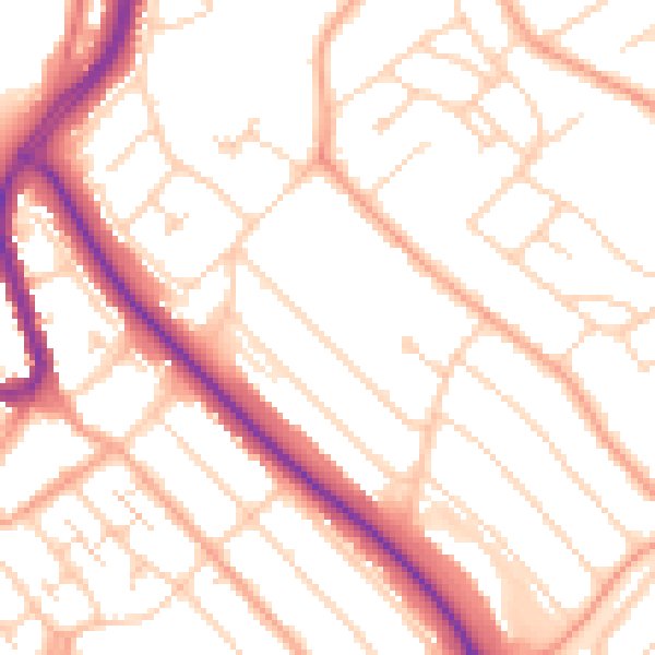
Daytime· 07:00 – 23:00
52.0dB

Night-time· 23:00 – 07:00
41.4dB