23 Clevedon Road, Luton, LU2 9EB
About 23 Clevedon Road
23 Clevedon Road is a three-bedroom semi-detached house in Luton (LU2 9EB). It has a recorded floor area of 77 m² (around 829 sq ft), construction records dating it to 1950-1966 and council tax band C. The property has underfloor heating on record, all of which lower running costs and tend to lift resale appeal. Period features are noted in the property record. Our model identifies extension potential, subject to local planning policy. The latest certificate (January 2024) shows a C (score 71). The recommended improvements would push it to B (score 87).
Its energy rating outperforms most of the postcode (better than 78% of similar EPCs). Across 2006–2024, sale prices on this property compounded at 4.3% per year. Today's modelled estimate of £372,000 is 14.5% above the 2024 sale price. On a £-per-square-foot basis, the last sale (£392/sq ft) was about 152.4% above the typical sold price in the postcode. Last sale on file: £325,000 in May 2024.
What this property has
Inside
- Bedrooms3
- Bathrooms1
Outside
- Private gardenRear
- ParkingOff road
Building
- Underfloor heatingYes
- Period featuresYes
- Extension potentialPossible
Everything you need to know about 23 Clevedon Road
The true value, the hidden risks and the full sale history, in one report.
30-day money-back guarantee

The data behind every report


Energy performance
EPC Rating
Planning history
23 Clevedon Road has no planning applications on record.
Notable planning nearby
1applications of note in the surrounding area
Sales history & valuation
Sale price has at least doubled since 2006.
£372,000
Modelled from EPC, postcode comparables and a sale-price growth of 4.3% per year over 17 years.
£325,000
Growth on file: 4.3% per year over 17 years.
Sales timeline
9 May 2024Most recent
£325,000
+107.0%over 17 years30 November 2006
£157,000
Median price across the last 5 sales in LU2 9EB: £318,000 (2025–2019).
Versus other Clevedon Road homes
Years Held for 23 Clevedon Road lags the street by a wide margin.
Price per m²
£4,221
Street avg £2,392
Floor Area
77 m²
Street avg 89 m²
Habitable Rooms
5 rooms
Street avg 5 rooms
CO₂ Emissions
2.7 t/year
Street avg 4.3 t/year
Everything you need to know about 23 Clevedon Road
The true value, the hidden risks and the full sale history, in one report.
30-day money-back guarantee
The data behind every report
Similar properties nearby
The neighbourhood at a glance
Crime
6/mo
Steady year-on-year across the wider district.
Nearest stop
0.2 km
Yeovil Road — bus stop.
Closest school
0.1 km
Ramridge Primary School. 28 schools nearby.
Go deeper on the local area
The full report breaks down crime, transport links, schools and air quality in depth.
Road noise across the postcode
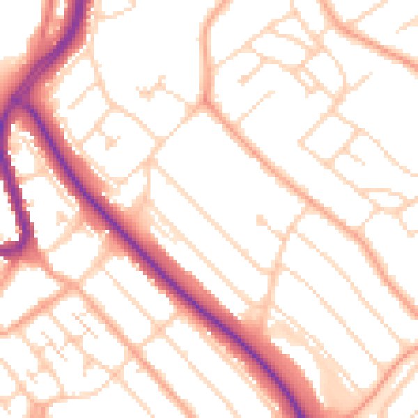
Daytime· 07:00 – 23:00
52.0dB

Night-time· 23:00 – 07:00
41.4dB