62 Moreton Road North, Luton, LU2 9DP
About 62 Moreton Road North
62 Moreton Road North is a two-bedroom semi-detached house in Luton (LU2 9DP). It has a recorded floor area of 54 m² (around 581 sq ft), construction records dating it to 1950-1966 and council tax band A. At 54 m² this is the 9th smallest of 28 units on EPC record in the building, where floor areas span 41–106 m². The building's EPC ratings span E to C, with this unit at the top. The latest certificate (August 2024) shows a C (score 76), near the top of the C band. When first surveyed in September 2013 the rating was D, the property has climbed 1 band since. Between certificates, hot-water efficiency went from Average to Good and lighting went from Good to Very Good; while wall efficiency dropped from Good to Average.
Today's modelled estimate of £178,000 sits 82.6% above the 2013 sale of £97,500. 13 years since the last transfer (October 2013).
What this property has
Inside
- Bedrooms2
Outside
- Private gardenYes
Building
- Central heatingYes
- RefurbishedYes
Everything you need to know about 62 Moreton Road North
The true value, the hidden risks and the full sale history, in one report.
30-day money-back guarantee

The data behind every report


Energy performance
EPC Rating
Property Improvements
Changes detected from historical EPC data
Heating controls upgraded for better temperature management
Hot water efficiency improved
More low energy lighting installed
Planning history
62 Moreton Road North has no planning applications on record.
Notable planning nearby
1applications of note in the surrounding area
Sales history & valuation
62 Moreton Road North valuation sits well clear of the typical sold price in this postcode.
£178,000
Modelled from EPC, postcode comparables.
£97,500
Recorded with HM Land Registry.
Sales timeline
2 October 2013Most recent
£97,500
Median price across the last 5 sales in LU2 9DP: £180,000 (2022–2018).
Nearby sales in LU2 9DP
Versus other Moreton Road North homes
EPC Rating for 62 Moreton Road North runs comfortably ahead of the street norm.
Price per m²
£1,806
Street avg £2,345
Floor Area
54 m²
Street avg 55 m²
Habitable Rooms
3 rooms
Street avg 3 rooms
CO₂ Emissions
1.6 t/year
Street avg 2.5 t/year
Everything you need to know about 62 Moreton Road North
The true value, the hidden risks and the full sale history, in one report.
30-day money-back guarantee
The data behind every report
Similar properties nearby
1 Chertsey Close
LU2 9JD
1 Chelsworth Close
LU2 9SU
1 Baylam Dell
LU2 9ST
1 Carteret Road
LU2 9JY
1 Barnston Close
LU2 9RZ
1 Byron Close, Ashcroft Road
LU2 9AE
1 Ardleigh Green
LU2 9SS
1 Eastcott Close
LU2 9JP
The neighbourhood at a glance
Crime
6/mo
Steady year-on-year across the wider district.
Nearest stop
0.3 km
Deep Denes — bus stop.
Closest school
0.2 km
Ramridge Primary School. 30 schools nearby.
Go deeper on the local area
The full report breaks down crime, transport links, schools and air quality in depth.
Road noise across the postcode
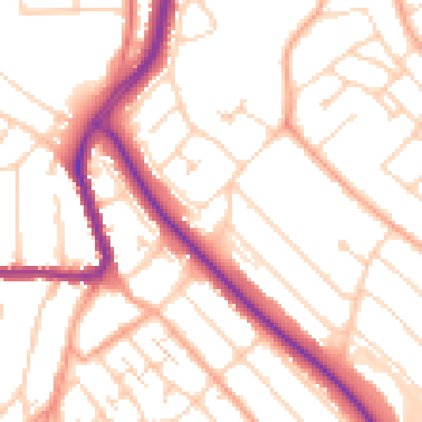
Daytime· 07:00 – 23:00
52.2dB

Night-time· 23:00 – 07:00
41.8dB