9 Berkeley Path, Luton, LU2 0TS
About 9 Berkeley Path
9 Berkeley Path is a mid-terrace house in Luton (LU2 0TS). It has a recorded floor area of 109 m² (around 1173 sq ft), construction records dating it to 1976-1982 and council tax band B. The latest certificate (March 2023) shows a C (score 76), near the top of the C band. The rating has held steady at C across 3 certificates since June 2013. Between certificates, window efficiency went from Average to Good, hot-water efficiency went from Good to Very Good and lighting went from Average to Very Good.
At 109 m² the property is well over the postcode median (58 m² across 66 EPCs), placing it in the larger end of the local stock.
Everything you need to know about 9 Berkeley Path
The true value, the hidden risks and the full sale history, in one report.
30-day money-back guarantee

The data behind every report


Energy performance
EPC Rating
Property Improvements
Changes detected from historical EPC data
Window efficiency improved
Roof insulation improved
Heating controls upgraded for better temperature management
Hot water system upgraded
More low energy lighting installed
Solar PV panels (30 kWp) and Solar water heating installed
Planning history
9 Berkeley Path has no planning applications on record.
Notable planning nearby
30applications of note in the surrounding area
We flagged 2 things worth checking at 9 Berkeley Path
Independent checks surfaced things a buyer would want to understand before offering. The report explains each one in full, with the underlying data and what to ask.
- Signs of HMO activity in the area
- Larger development activity nearby
30-day money-back guarantee
Sales history & valuation
9 Berkeley Path has no Land Registry sales on file, suggesting it has stayed in the same hands since registration began.
£294,000
Modelled from EPC, postcode comparables.
No sales recorded with HM Land Registry
That can mean the property has never traded since the registry began publishing in 1995, was a new build that hasn't been registered yet, or is held in the same hands long-term.
Median price across the last 5 sales in LU2 0TS: £175,000 (2025–2021).
Versus other Berkeley Path homes
On floor area, 9 Berkeley Path stands well clear of the street.
EPC Rating
76 (C)
Street avg 71 (C)
Floor Area
109 m²
Street avg 88 m²
CO₂ Emissions
1.9 t/year
Street avg 3.0 t/year
Habitable Rooms
5 rooms
Street avg 5 rooms
Everything you need to know about 9 Berkeley Path
The true value, the hidden risks and the full sale history, in one report.
30-day money-back guarantee
The data behind every report
Similar properties nearby
The neighbourhood at a glance
Rail-style transport is unusually close for this postcode.
Crime
6/mo
Steady year-on-year across the wider district.
Nearest stop
0.0 km
Berkley Path — bus stop.
Closest school
0.3 km
St Matthew's Primary School. 36 schools nearby.
Go deeper on the local area
The full report breaks down crime, transport links, schools and air quality in depth.
Road noise across the postcode
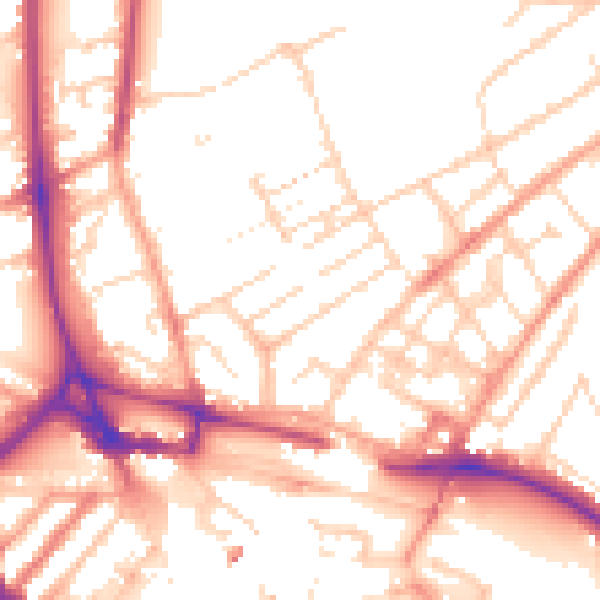
Daytime· 07:00 – 23:00
53.6dB

Night-time· 23:00 – 07:00
43.1dB