35 Berkeley Path, Luton, LU2 0TS
About 35 Berkeley Path
35 Berkeley Path is a semi-detached house in Luton (LU2 0TS). It has a recorded floor area of 71 m² (around 764 sq ft), construction records dating it to 1950-1966 and council tax band A. At 71 m² this is the 43rd smallest of 67 units on EPC record in the building, where floor areas span 30–109 m². The building's EPC ratings span E to C, with this unit at the top. The latest certificate (May 2024) shows a C (score 71). The rating has held steady at C across 2 certificates since April 2013. Between certificates, wall efficiency dropped from Average to Poor.
At 71 m² it's 23.2% larger than the typical home in the postcode (58 m² median across 66 EPCs). Across 2021–2024, sale prices on this property compounded at 3.6% per year. Today's modelled estimate of £204,000 is 16.6% above the 2024 sale price. On a £-per-square-foot basis, the last sale (£229/sq ft) was about 55% above the typical sold price in the postcode. Last sale on file: £175,000 in August 2024.
Everything you need to know about 35 Berkeley Path
The true value, the hidden risks and the full sale history, in one report.
30-day money-back guarantee

The data behind every report


Energy performance
EPC Rating
Planning history
35 Berkeley Path has no planning applications on record.
Notable planning nearby
30applications of note in the surrounding area
We flagged 2 things worth checking at 35 Berkeley Path
Independent checks surfaced things a buyer would want to understand before offering. The report explains each one in full, with the underlying data and what to ask.
- Signs of HMO activity in the area
- Larger development activity nearby
30-day money-back guarantee
Sales history & valuation
35 Berkeley Path valuation sits well clear of the typical sold price in this postcode.
£204,000
Modelled from EPC, postcode comparables and a sale-price growth of 3.6% per year over 3 years.
£175,000
Growth on file: 3.6% per year over 3 years.
Sales timeline
15 August 2024Most recent
£175,000
+12.9%over 3 years24 February 2021
£155,000
Median price across the last 5 sales in LU2 0TS: £165,000 (2025–2014).
Versus other Berkeley Path homes
35 Berkeley Path is notably below the street on years held.
Price per m²
£2,465
Street avg £2,221
Floor Area
71 m²
Street avg 54 m²
Habitable Rooms
4 rooms
Street avg 3 rooms
CO₂ Emissions
2.6 t/year
Street avg 2.1 t/year
Everything you need to know about 35 Berkeley Path
The true value, the hidden risks and the full sale history, in one report.
30-day money-back guarantee
The data behind every report
Similar properties nearby
1 Cherry Tree Mews, 230 Hitchin Road
LU2 0EX
1 Elmfield Court, Bloomfield Avenue
LU2 0PX
1 Crescent Road
LU2 0AB
1 Buchanan Court, Buchanan Drive
LU2 0SA
1 Berkeley Path
LU2 0TS
1 Albion Court
LU2 0DH
1 Armstrong Road
LU2 0FU
1 Butterworth Path
LU2 0TP
The neighbourhood at a glance
Rail-style transport is unusually close for this postcode.
Crime
6/mo
Steady year-on-year across the wider district.
Nearest stop
0.0 km
Berkley Path — bus stop.
Closest school
0.3 km
St Matthew's Primary School. 36 schools nearby.
Go deeper on the local area
The full report breaks down crime, transport links, schools and air quality in depth.
Road noise across the postcode
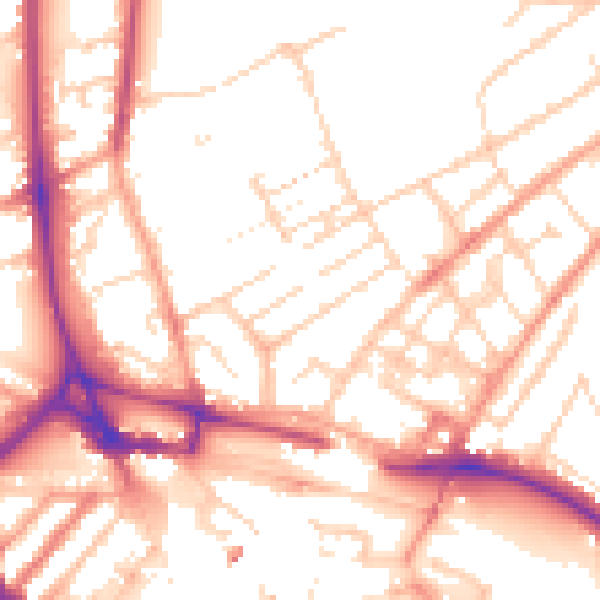
Daytime· 07:00 – 23:00
53.6dB

Night-time· 23:00 – 07:00
43.1dB