Flat C, 3 Crescent Rise, Luton, LU2 0AT
About Flat C
Flat C is a detached house in Luton (LU2 0AT). It has a recorded floor area of 37 m² (around 398 sq ft) and construction records dating it to 1983-1990. The latest certificate (June 2019) shows a D (score 65), on the cusp of jumping into the C band. The recommended improvements would push it to C (score 76). Main heating runs on electricity.
At 37 m² it sits well below the postcode median (85 m² across 20 EPCs), making it one of the more compact homes locally. Last sale on file: £141,000 in August 2024. Across the public record there are 4 sales, relatively high churn for a single property. Across 2000–2024, sale prices on this property compounded at 6.2% per year. On a £-per-square-foot basis, the last sale (£354/sq ft) was about 109% above the typical sold price in the postcode.
Everything you need to know about Flat C
The true value, the hidden risks and the full sale history, in one report.
30-day money-back guarantee

The data behind every report


Energy performance
EPC Rating
Planning history
Flat C has no planning applications on record.
Notable planning nearby
30applications of note in the surrounding area
We flagged 2 things worth checking at Flat C
Independent checks surfaced things a buyer would want to understand before offering. The report explains each one in full, with the underlying data and what to ask.
- Signs of HMO activity in the area
- Larger development activity nearby
30-day money-back guarantee
Sales history & valuation
Flat C has more than quadrupled in price since its earliest registered sale in 2000.
£148,000
Modelled from EPC, postcode comparables and a sale-price growth of 6.2% per year over 24 years.
£141,000
Growth on file: 6.2% per year over 24 years.
Sales timeline
18 August 2024Most recent
£141,000
+8.9%over 4 years9 July 2020
£129,500
+135.5%over 17 years8 November 2002
£54,995
+61.8%over 1 year10 November 2000
£33,995
Median price across the last 5 sales in LU2 0AT: £270,000 (2024–2019).
Nearby sales in LU2 0AT
Versus other Crescent Rise homes
On years held, Flat C runs well behind the street norm.
Price per m²
£3,811
Street avg £2,879
Floor Area
37 m²
Street avg 66 m²
Habitable Rooms
2 rooms
Street avg 3 rooms
CO₂ Emissions
2.8 t/year
Street avg 3.6 t/year
Everything you need to know about Flat C
The true value, the hidden risks and the full sale history, in one report.
30-day money-back guarantee
The data behind every report
Similar properties nearby
102a, Flat 4, Midland Road
LU2 0BL
19 23, Flat 1, Hitchin Road
LU2 0EJ
104a, Flat 3, Midland Road
LU2 0HU
104a, Flat 7, Midland Road
LU2 0HU
102a, Flat 5, Midland Road
LU2 0BL
102a, Flat 2, Midland Road
LU2 0BL
19 23, Flat 10, Hitchin Road
LU2 0EJ
15 16, Flat 10, Crescent Road
LU2 0AE
The neighbourhood at a glance
Rail-style transport is unusually close for this postcode.
Crime
6/mo
Steady year-on-year across the wider district.
Nearest stop
0.2 km
Crescent Rise — bus stop.
Closest school
0.4 km
St Matthew's Primary School. 33 schools nearby.
Go deeper on the local area
The full report breaks down crime, transport links, schools and air quality in depth.
Road noise across the postcode
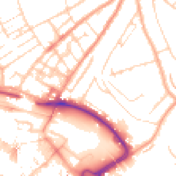
Daytime· 07:00 – 23:00
52.6dB

Night-time· 23:00 – 07:00
41.6dB