2 Corn Mill, Menston, Ilkley, LS29 6BY
About 2 Corn Mill
2 Corn Mill is a property in Menston, Ilkley, Ilkley (LS29 6BY). It has council tax band C.
Untraded for 26 years, with the last transfer in July 2000. Only one transfer is on record with HM Land Registry, suggesting it has stayed in the same hands for a long time.
Know exactly what you're buying at 2 Corn Mill
Before you offer, see what the listing won't tell you, the true value, the red flags and the full history.
Valuation
against the asking price
Risks
planning & flood
Sold prices
similar homes nearby
Trends
the local market
Energy performance
No EPC on record
This property doesn't have an Energy Performance Certificate yet. An EPC is required to sell or let — and unlocks our automated valuation.
Planning history
2 Corn Mill has no planning applications on record.
The full report still covers planning activity across the surrounding area.
Sales history & valuation
£57,500
Recorded with HM Land Registry.
Sales timeline
24 July 2000Most recent
£57,500
Median price across the last 5 sales in LS29 6BY: £180,000 (2025–2023).
Nearby sales in LS29 6BY
15 Corn Mill, Menston, Ilkley, LS29 6BY
Sold Mar 2025
£199,95014 Corn Mill, Menston, Ilkley, LS29 6BY
Sold Nov 2024
£182,00024 Corn Mill, Menston, Ilkley, LS29 6BY
Sold Oct 2024
£180,00012 Corn Mill, Menston, Ilkley, LS29 6BY
Sold Dec 2023
£176,00021 Corn Mill, Menston, Ilkley, LS29 6BY
Sold Apr 2023
£169,000
Everything we know about 2 Corn Mill, in one report
What it's really worth, what could be wrong, and the planning, sales and area data in full.
- Am I paying too much?
- Is something wrong with it?
- Is the agent's story true?
- Will it hold its value?

Similar properties nearby
1 Albany Row, Main Street, Menston
LS29 6HA
1 Arkendale Court, Melbeck Close, Menston
LS29 6RS
1 Barn Close, Menston
LS29 6NL
1 Beamsley Close, Menston
LS29 6FG
1 Beamsley Court, Menston
LS29 6FL
1 Beamsley Croft, Menston
LS29 6FT
1 Beamsley Walk, Menston
LS29 6FJ
1 Beech Grove, Menston
LS29 6JZ
The neighbourhood at a glance
Rail-style transport is unusually close for this postcode.
Crime
3/mo
Steady year-on-year across the wider district.
Nearest stop
0.2 km
Bradford Rd Station Road — bus stop.
Closest school
0.8 km
St. Mary's Menston, a Catholic Voluntary Academy. 13 schools nearby.
Go deeper on the local area
The full report breaks down crime, transport links, schools and air quality in depth.
Road noise across the postcode
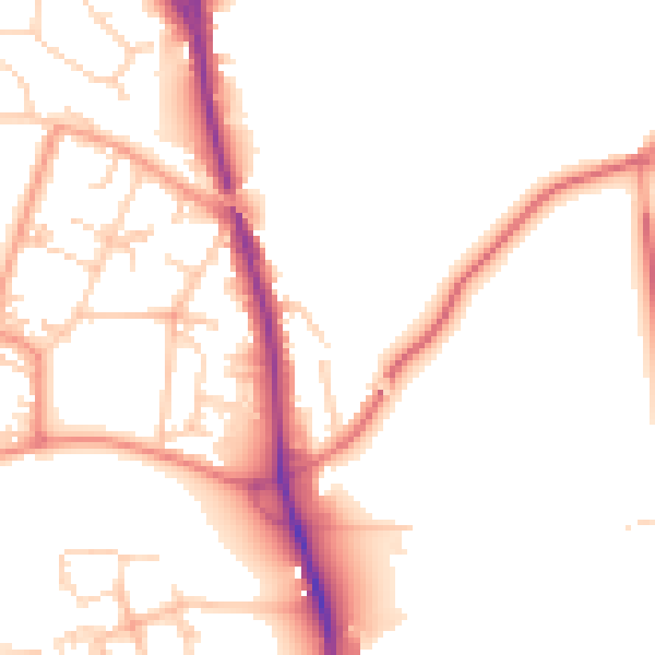
Daytime· 07:00 – 23:00
51.1dB

Night-time· 23:00 – 07:00
42.5dB