Apartment 3, 105 Bradford Road, Menston, Ilkley, LS29 6BU
About Apartment 3
Apartment 3 is a semi-detached house in Menston, Ilkley, Ilkley (LS29 6BU). It has a recorded floor area of 72 m² (around 775 sq ft) and construction records dating it to 1900-1929. The latest certificate (July 2019) shows an E (score 46), well below the UK norm with real room to improve. The recommended improvements would lift it to C (score 76), a 2-band jump. Main heating runs on electricity. At 72 m² this is the 2nd smallest of 3 units on EPC record in the building, where floor areas span 58–72 m².
At 72 m² it's 18.2% smaller than the typical home in the postcode (88 m² median across 13 EPCs).
Know exactly what you're buying at Apartment 3
Before you offer, see what the listing won't tell you, the true value, the red flags and the full history.
Valuation
against the asking price
Risks
planning & flood
Sold prices
similar homes nearby
Trends
the local market
Energy performance
Recommended upgrades on file would lift this property by multiple EPC bands.
EPC Rating
Planning history
Apartment 3 has no planning applications on record.
The full report still covers planning activity across the surrounding area.
Sales history & valuation
Apartment 3 has no Land Registry sales on file, suggesting it has stayed in the same hands since registration began.
£203,000
Modelled from EPC, postcode comparables.
No sales recorded with HM Land Registry
That can mean the property has never traded since the registry began publishing in 1995, was a new build that hasn't been registered yet, or is held in the same hands long-term.
Median price across the last 5 sales in LS29 6BU: £445,500 (2022–2016).
Nearby sales in LS29 6BU
73 Bradford Road, Menston, Ilkley, LS29 6BU
Sold Jan 2022
£445,50089 Bradford Road, Menston, Ilkley, LS29 6BU
Sold Sept 2020
£450,00079 Bradford Road, Menston, Ilkley, LS29 6BU
Sold Apr 2017
£486,00075 Bradford Road, Menston, Ilkley, LS29 6BU
Sold Jul 2016
£385,00091 Bradford Road, Menston, Ilkley, LS29 6BU
Sold Jan 2016
£261,000
Everything we know about Apartment 3, in one report
What it's really worth, what could be wrong, and the planning, sales and area data in full.
- Am I paying too much?
- Is something wrong with it?
- Is the agent's story true?
- Will it hold its value?

Versus other Bradford Road homes
Floor Area for Apartment 3 runs comfortably ahead of the street norm.
EPC Rating
46 (E)
Street avg 62 (D)
Floor Area
72 m²
Street avg 60 m²
CO₂ Emissions
4.4 t/year
Street avg 3.0 t/year
Similar properties nearby
Apartment 27, 11 Ling Court, Menston
LS29 6QJ
Apartment 16, 3 Ling Court, Menston
LS29 6QJ
Apartment 28, 11 Ling Court, Menston
LS29 6QJ
Apartment 1, 1 Ling Court, Menston
LS29 6QJ
Apartment 11, 1 Ling Court, Menston
LS29 6QJ
Apartment 21, 11 Ling Court, Menston
LS29 6QJ
Apartment 25, 11 Ling Court, Menston
LS29 6QJ
Apartment 17, 3 Ling Court, Menston
LS29 6QJ
The neighbourhood at a glance
Rail-style transport is unusually close for this postcode.
Crime
3/mo
Steady year-on-year across the wider district.
Nearest stop
0.0 km
Bradford Rd Station Road — bus stop.
Closest school
0.8 km
Menston Primary School. 11 schools nearby.
Go deeper on the local area
The full report breaks down crime, transport links, schools and air quality in depth.
Road noise across the postcode
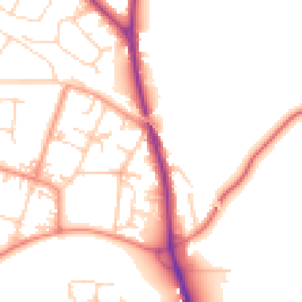
Daytime· 07:00 – 23:00
51.1dB

Night-time· 23:00 – 07:00
42.4dB