91 Bradford Road, Menston, Ilkley, LS29 6BU
About 91 Bradford Road
91 Bradford Road is a three-bedroom semi-detached house in Menston, Ilkley, Ilkley (LS29 6BU). It has a recorded floor area of 88 m² (around 947 sq ft), construction records dating it to 1930-1949 and council tax band D. The latest certificate (July 2015) shows a D (score 67), on the cusp of jumping into the C band. The recommended improvements would lift it to B (score 85), a 2-band jump. The latest certificate is from July 2015, so improvements made since then won't be reflected. Records show the property has been extended at some point in its history.
At 88 m² it's 22.2% larger than the typical home in the postcode (72 m² median across 13 EPCs). Across 2003–2016, sale prices on this property compounded at 4.4% per year. Today's modelled estimate of £390,000 is 49.4% above the 2016 sale price. On a £-per-square-foot basis, the last sale (£276/sq ft) was about 66.8% above the typical sold price in the postcode. 10 years since the last transfer (January 2016).
Know exactly what you're buying at 91 Bradford Road
Before you offer, see what the listing won't tell you, the true value, the red flags and the full history.
Valuation
against the asking price
Risks
planning & flood
Sold prices
similar homes nearby
Trends
the local market
What this property has
Inside
- Bedrooms3
- Bathrooms1
- Dining roomYes
- FireplaceYes
Outside
- GarageYes
Building
- Previously extendedYes
- RefurbishedYes
Energy performance
Recommended upgrades on file would lift this property by multiple EPC bands.
EPC Expired
This certificate is over 10 years old and is no longer valid.Expired 26 Jul 2025
EPC Rating
Planning history
91 Bradford Road has no planning applications on record.
The full report still covers planning activity across the surrounding area.
Sales history & valuation
£390,000
Modelled from EPC, postcode comparables and a sale-price growth of 4.4% per year over 13 years.
£261,000
Growth on file: 4.4% per year over 13 years.
Sales timeline
15 January 2016Most recent
£261,000
+75.2%over 12 years14 February 2003
£149,000
Median price across the last 5 sales in LS29 6BU: £445,500 (2022–2016).
Nearby sales in LS29 6BU
73 Bradford Road, Menston, Ilkley, LS29 6BU
Sold Jan 2022
£445,50089 Bradford Road, Menston, Ilkley, LS29 6BU
Sold Sept 2020
£450,00079 Bradford Road, Menston, Ilkley, LS29 6BU
Sold Apr 2017
£486,00075 Bradford Road, Menston, Ilkley, LS29 6BU
Sold Jul 2016
£385,000Apartment Three, 59 Bradford Road, Menston, Ilkley, LS29 6BU
Sold Mar 2015
£250,000
Everything we know about 91 Bradford Road, in one report
What it's really worth, what could be wrong, and the planning, sales and area data in full.
- Am I paying too much?
- Is something wrong with it?
- Is the agent's story true?
- Will it hold its value?

Versus other Bradford Road homes
91 Bradford Road is notably below the street on floor area.
Price per m²
£2,966
Street avg £2,488
Floor Area
88 m²
Street avg 157 m²
Habitable Rooms
5 rooms
Street avg 7 rooms
CO₂ Emissions
3.3 t/year
Street avg 7.8 t/year
Similar properties nearby
1 Bill Bowes Court, Menston
LS29 6GF
1 Beech Grove, Menston
LS29 6JZ
1 Burnstall Close, Menston
LS29 6FR
1 Croft Close, Menston
LS29 6LZ
1 Corn Mill, Menston
LS29 6BY
1 Albany Row, Main Street, Menston
LS29 6HA
1 Coultas Close, Menston
LS29 6HX
1 Chevin Avenue, Bradford Road, Menston
LS29 6DY
The neighbourhood at a glance
Rail-style transport is unusually close for this postcode.
Crime
3/mo
Steady year-on-year across the wider district.
Nearest stop
0.0 km
Bradford Rd Station Road — bus stop.
Closest school
0.8 km
Menston Primary School. 11 schools nearby.
Go deeper on the local area
The full report breaks down crime, transport links, schools and air quality in depth.
Road noise across the postcode
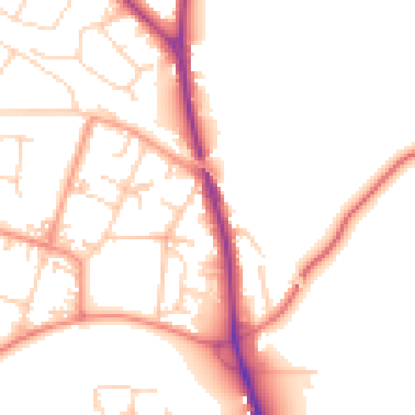
Daytime· 07:00 – 23:00
51.1dB

Night-time· 23:00 – 07:00
42.4dB