Fish Ponds Farm, Hall Lane, Farnley, Leeds, LS12 5HA
About Fish Ponds Farm
Fish Ponds Farm is a property in Farnley, Leeds, Leeds (LS12 5HA). It has council tax band F.
2 planning records sit against the property, 2 approved, 0 refused. Past consents include an annexe and partial demolition, meaningful when judging how the property has evolved. Most recent transfer: May 2019 at £425,000.
Know exactly what you're buying at Fish Ponds Farm
Before you offer, see what the listing won't tell you, the true value, the red flags and the full history.
Already flagged here
Launch offer · save £5
Valuation
against the asking price
Risks
planning & flood
Sold prices
similar homes nearby
Trends
the local market
Energy performance
No EPC on record
This property doesn't have an Energy Performance Certificate yet. An EPC is required to sell or let — and unlocks our automated valuation.
Planning history
Planning history includes recorded demolition works, indicating a major rebuild phase at this address.
- Nov 2023AnnexAmendmentIn report
Demolition of existing storage / workshop erection of annexe - NON MATERIAL AMENDMENT TO 23/03494/FU - Addition of glazed external door within glazed gable.
Demolition- Documents
- 10 docs on file
- Reference
- 23/9/00264/MOD
- Jul 2023DemolitionFullIn report
Demolition of existing storage / workshop erection of annexe
- Documents
- 12 docs on file
- Reference
- 23/03494/FU
We flagged 1 thing worth checking at Fish Ponds Farm
Independent checks surfaced things a buyer would want to understand before offering. The report explains each one in full, with the underlying data and what to ask.
- Larger development activity nearby
30-day money-back guarantee
Sales history & valuation
£425,000
Recorded with HM Land Registry.
Sales timeline
30 May 2019Most recent
£425,000
Median price across the last 5 sales in LS12 5HA: £170,000 (2021–2012).
Everything we know about Fish Ponds Farm, in one report
What it's really worth, what could be wrong, and the planning, sales and area data in full.
What we flagged
- Larger development activity nearby

Similar properties nearby
The neighbourhood at a glance
Reported crime in the wider district is trending notably upward year-on-year.
Crime
10/mo
Rising year-on-year across the wider district.
Nearest stop
0.3 km
Hall Ln Chapel Lane — bus stop.
Closest school
0.4 km
Lawns Park Primary School. 24 schools nearby.
Go deeper on the local area
The full report breaks down crime, transport links, schools and air quality in depth.
Road noise across the postcode
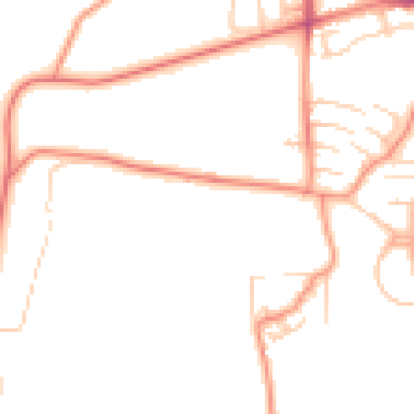
Daytime· 07:00 – 23:00
48.0dB

Night-time· 23:00 – 07:00
37.6dB