48 Rocheford Close, Leeds, LS10 2LR
About 48 Rocheford Close
48 Rocheford Close is a mid-terrace house in Leeds (LS10 2LR). It has a recorded floor area of 86 m² (around 926 sq ft), construction records dating it to 1950-1966 and council tax band A. The latest certificate (February 2022) shows a C (score 78), near the top of the C band. The rating has held steady at C across 3 certificates since May 2013. Between certificates, wall efficiency went from Very Poor to Good and lighting went from Very Poor to Very Good. The recommended improvements would push it to B (score 90).
Today's modelled estimate of £172,000 is 11% above the 2022 sale price. On a £-per-square-foot basis, the last sale (£167/sq ft) was about 107.5% above the typical sold price in the postcode. Most recent transfer: April 2022 at £155,000. That sale was during the post-pandemic price surge, when transactions cleared materially above pre-2020 trend.
Everything you need to know about 48 Rocheford Close
The true value, the hidden risks and the full sale history, in one report.
30-day money-back guarantee

The data behind every report


Energy performance
EPC Rating
Property Improvements
Changes detected from historical EPC data
Wall insulation improved
More low energy lighting installed
Planning history
48 Rocheford Close has no planning applications on record.
Notable planning nearby
6applications of note in the surrounding area
We flagged 2 things worth checking at 48 Rocheford Close
Independent checks surfaced things a buyer would want to understand before offering. The report explains each one in full, with the underlying data and what to ask.
- Signs of HMO activity in the area
- Environmental risk flagged
30-day money-back guarantee
Sales history & valuation
Latest sale on 48 Rocheford Close was the highest on Land Registry record across the postcode.
£172,000
Modelled from EPC, postcode comparables.
£155,000
Recorded with HM Land Registry.
Sales timeline
28 April 2022Most recent
£155,000
Median price across the last 5 sales in LS10 2LR: £130,000 (2025–2021).
Nearby sales in LS10 2LR
Versus other Rocheford Close homes
48 Rocheford Close outperforms the street on price per m² by a wide margin.
Price per m²
£1,802
Street avg £1,112
Floor Area
86 m²
Street avg 86 m²
Habitable Rooms
5 rooms
Street avg 5 rooms
CO₂ Emissions
2.1 t/year
Street avg 3.0 t/year
Everything you need to know about 48 Rocheford Close
The true value, the hidden risks and the full sale history, in one report.
30-day money-back guarantee
The data behind every report
Similar properties nearby
The neighbourhood at a glance
Crime
8/mo
Steady year-on-year across the wider district.
Nearest stop
0.1 km
Balmoral Chase — bus stop.
Closest school
0.2 km
Low Road Primary School. 32 schools nearby.
Go deeper on the local area
The full report breaks down crime, transport links, schools and air quality in depth.
Road noise across the postcode
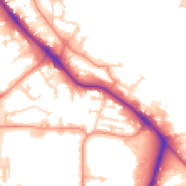
Daytime· 07:00 – 23:00
54.4dB

Night-time· 23:00 – 07:00
45.3dB