29 Dorset Street, Lincoln, LN2 5NS
About 29 Dorset Street
29 Dorset Street is a three-bedroom end-of-terrace house in Lincoln (LN2 5NS). It has a recorded floor area of 79 m² (around 850 sq ft), construction records dating it to 1900-1929 and council tax band A. Tenure is freehold. The latest certificate (May 2018) shows a D (score 62), on the cusp of jumping into the C band. When first surveyed in January 2013 the rating was E, the property has climbed 1 band since. Between certificates, wall efficiency went from Very Poor to Poor, roof efficiency went from Good to Very Good and window efficiency went from Average to Good. The recommended improvements would lift it to B (score 84), a 2-band jump.
A recent sale: £138,000 in February 2025. Across the public record there are 5 sales, relatively high churn for a single property. Across 2002–2025, sale prices on this property compounded at 5.5% per year. On a £-per-square-foot basis, the last sale (£162/sq ft) was about 68.6% above the typical sold price in the postcode. One planning record on file: HMO conversion refused in 2022.
What this property has
Inside
- Bedrooms3
- Bathrooms1
- Dining roomYes
- Utility roomYes
Outside
- Private gardenRear
Building
- TenureFreehold
- Heating systemGas
- RefurbishedYes
Everything you need to know about 29 Dorset Street
The true value, the hidden risks and the full sale history, in one report.
Pick your report · every report is £14.99
One time fee only - money back guarantee

The data behind every report


Energy performance
Recommended upgrades on file would lift this property by multiple EPC bands.
EPC Rating
Property Improvements
Changes detected from historical EPC data
Heating controls upgraded for better temperature management
Window efficiency improved
Wall insulation improved
Roof insulation improved
More low energy lighting installed
Get a survey for this property
Level 3 Building Survey
Because the property was built before 1919 and has solid (non-cavity) walls, we believe a Level 3 building survey should be considered.
From £820 · Includes VAT
Planning history
A HMO conversion application was refused at 29 Dorset Street in 2022.
1 application on record at 29 Dorset Street, Lincoln, LN2 5NS
- Mar 2022HMOAmendmentOutcome in report
Change of use from dwellinghouse (Use Class C3) to 3 bed House in Multiple Occupation (HMO)(Use Class C4)
- Documents
- 4 docs on file
- Reference
- 2021/1035/C4
Unlock 29 Dorset Street, Lincoln, LN2 5NS's full planning history
You're seeing the shape of it. The report has the substance.
- Every decision — granted, refused or withdrawn (1 on record)
- All 1 application on this property in full, plus 63 notable nearby
- The 4 documents, officer reports & conditions
- What the pattern means for extending or converting here
One time fee only - money back guarantee
Sales history & valuation
Sale price has grown by over 3x since 2002.
£146,000
Modelled from EPC, postcode comparables and a sale-price growth of 5.5% per year over 23 years.
£138,000
Growth on file: 5.5% per year over 23 years.
Sales timeline
28 February 2025Most recent
£138,000
+28.4%over 6 years4 January 2019
£107,500
+24.3%over 14 years20 June 2004
£86,500
+27.2%over 7 months5 December 2003
£68,000
+70.2%over 1 year25 January 2002
£39,950
Median price across the last 5 sales in LN2 5NS: £102,000 (2025–2024).
Versus other Dorset Street homes
Price per m² for 29 Dorset Street runs comfortably ahead of the street norm.
Price per m²
£1,747
Street avg £1,272
Floor Area
79 m²
Street avg 81 m²
Habitable Rooms
4 rooms
Street avg 5 rooms
CO₂ Emissions
4.0 t/year
Street avg 3.9 t/year
Everything you need to know about 29 Dorset Street
The true value, the hidden risks and the full sale history, in one report.
Pick your report · every report is £14.99
One time fee only - money back guarantee
The data behind every report
Similar properties nearby
1 Belmont Street
LN2 5LS
1 Bentinck Square
LN2 5EA
1 Dorset Street
LN2 5NS
1 Bathurst Street
LN2 5PX
1 Brook Street
LN2 5AS
1 Fairfield Street
LN2 5NE
1 Clarina Street
LN2 5LZ
1 Eastfield Street
LN2 5ES
The neighbourhood at a glance
Daytime road noise here sits well below conversation level — a quiet pocket of the postcode.
Crime
3/mo
Steady year-on-year across the wider district.
Nearest stop
0.2 km
Hartley Street — bus stop.
Closest school
0.6 km
Lincoln Monks Abbey Primary School. 17 schools nearby.
Go deeper on the local area
A Local Area report breaks down crime, transport links, schools and air quality in depth.
Road noise across the postcode
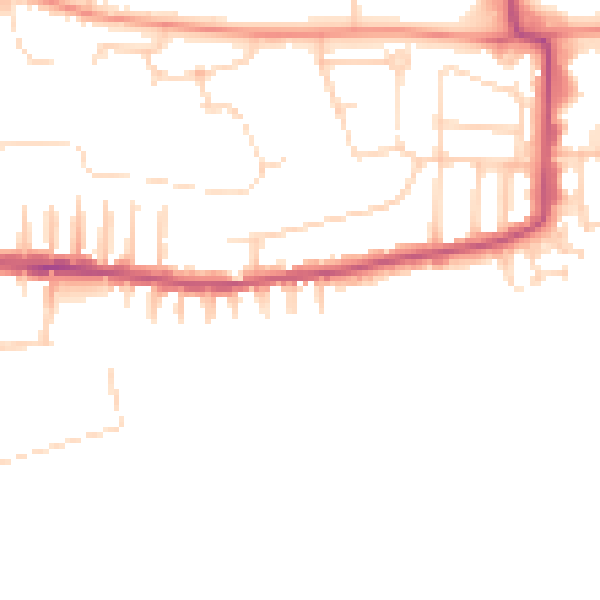
Daytime· 07:00 – 23:00
47.4dB

Night-time· 23:00 – 07:00
38.2dB