42 Friars Lane, Lincoln, LN2 5AL
About 42 Friars Lane
42 Friars Lane is a three-bedroom mid-terrace house in Lincoln (LN2 5AL). It has a recorded floor area of 81 m² (around 874 sq ft), construction records dating it to 1983-1990 and council tax band B. The latest certificate (June 2009) shows a D (score 66), on the cusp of jumping into the C band. The recommended improvements would push it to C (score 71). The latest certificate is from June 2009, so improvements made since then won't be reflected.
13 years since the last transfer (May 2013). Across the public record there are 5 sales, relatively high churn for a single property. At 81 m² it's 28.8% larger than the typical home in the postcode (63 m² median across 22 EPCs). Across 1996–2013, sale prices on this property compounded at 6.6% per year. Today's modelled estimate of £163,000 is 20.3% above the 2013 sale price. On a £-per-square-foot basis, the last sale (£155/sq ft) was about 18.2% above the typical sold price in the postcode.
What this property has
Inside
- Bedrooms3
Outside
- Private gardenYes
- GarageIntegral
Building
- Central heatingYes
Everything you need to know about 42 Friars Lane
The true value, the hidden risks and the full sale history, in one report.
Pick your report · every report is £14.99
One time fee only - money back guarantee

The data behind every report


Energy performance
42 Friars Lane's EPC is over a decade old — improvements since won't be reflected.
EPC Expired
This certificate is over 10 years old and is no longer valid.Expired 04 Jun 2019
EPC Rating
Get a survey for this property
Level 2 HomeBuyer Report
We've checked 10 risk factors against the available data for this property and believe a Level 2 HomeBuyer Report could be a suitable option for you.
From £495 · Includes VAT
Planning history
42 Friars Lane has no planning applications on record.
But the area is active
63 notable applications nearby — larger schemes and conversions that could reshape the street. The report maps them all.
Sales history & valuation
Sale price has at least doubled since 1996.
£163,000
Modelled from EPC, postcode comparables and a sale-price growth of 6.6% per year over 16 years.
£135,500
Growth on file: 6.6% per year over 16 years.
Sales timeline
9 May 2013Most recent
£135,500
11 February 2005
£136,000
+86.4%over 3 years7 December 2001
£72,950
+37.6%over 1 year27 April 2000
£53,000
+11.7%over 3 years10 December 1996
£47,450
Median price across the last 5 sales in LN2 5AL: £190,000 (2023–2016).
Versus other Friars Lane homes
Price per m²
£1,669
Street avg £1,613
Floor Area
81 m²
Street avg 84 m²
Habitable Rooms
4 rooms
Street avg 5 rooms
CO₂ Emissions
3.3 t/year
Street avg 3.5 t/year
Everything you need to know about 42 Friars Lane
The true value, the hidden risks and the full sale history, in one report.
Pick your report · every report is £14.99
One time fee only - money back guarantee
The data behind every report
Similar properties nearby
1 Belmont Street
LN2 5LS
1 Bentinck Square
LN2 5EA
1 Dorset Street
LN2 5NS
1 Bathurst Street
LN2 5PX
1 Clarina Street
LN2 5LZ
1 Brook Street
LN2 5AS
1 Fairfield Street
LN2 5NE
1 Eastfield Street
LN2 5ES
The neighbourhood at a glance
Rail-style transport is unusually close for this postcode.
Crime
3/mo
Steady year-on-year across the wider district.
Nearest stop
0.1 km
Unity Square — bus stop.
Closest school
0.2 km
Lincoln College. 20 schools nearby.
Go deeper on the local area
A Local Area report breaks down crime, transport links, schools and air quality in depth.
Road noise across the postcode
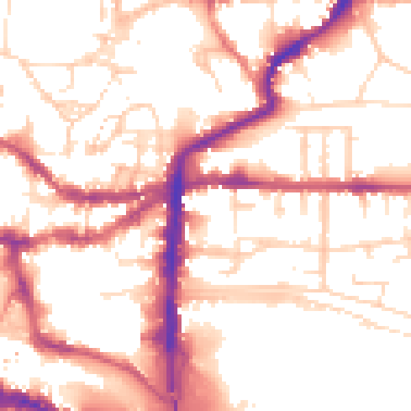
Daytime· 07:00 – 23:00
54.0dB

Night-time· 23:00 – 07:00
43.6dB