36 Friars Lane, Lincoln, LN2 5AL
About 36 Friars Lane
36 Friars Lane is a three-bedroom mid-terrace house in Lincoln (LN2 5AL). It has a recorded floor area of 82 m² (around 883 sq ft), construction records dating it to 1996-2002 and council tax band B. Tenure is freehold. The latest certificate (October 2021) shows a C (score 69), just inside the C band. The rating has held steady at C across 2 certificates since March 2010. Between certificates, lighting went from Average to Very Good. The recommended improvements would push it to B (score 87).
Held since October 2001 — that's 25 years off the open market, well above the local norm. At 82 m² the property is well over the postcode median (63 m² across 22 EPCs), placing it in the larger end of the local stock. Across 1997–2001, sale prices on this property compounded at 6.9% per year. Today's modelled estimate of £159,000 sits 132.1% above the 2001 sale of £68,500. On a £-per-square-foot basis, the last sale (£78/sq ft) was about 41.3% below the postcode norm.
What this property has
Inside
- Bedrooms3
- Bathrooms1
Outside
- Private gardenYes
Building
- TenureFreehold
Everything you need to know about 36 Friars Lane
The true value, the hidden risks and the full sale history, in one report.
Pick your report · every report is £14.99
One time fee only - money back guarantee

The data behind every report


Energy performance
EPC Rating
Property Improvements
Changes detected from historical EPC data
Loft insulation upgraded to recommended levels
More low energy lighting installed
Get a survey for this property
Level 3 Building Survey
Because the property has been extended more than once, we believe a Level 3 building survey should be considered.
From £820 · Includes VAT
Planning history
36 Friars Lane has no planning applications on record.
But the area is active
63 notable applications nearby — larger schemes and conversions that could reshape the street. The report maps them all.
Sales history & valuation
36 Friars Lane's estimated value is more than triple its earliest registered sale price (1997).
£159,000
Modelled from EPC, postcode comparables and a sale-price growth of 6.9% per year over 5 years.
£68,500
Growth on file: 6.9% per year over 5 years.
Sales timeline
8 October 2001Most recent
£68,500
+37.1%over 4 years15 January 1997
£49,950
Median price across the last 5 sales in LN2 5AL: £190,000 (2023–2016).
Versus other Friars Lane homes
On years held, 36 Friars Lane stands well clear of the street.
Price per m²
£835
Street avg £1,717
Floor Area
82 m²
Street avg 84 m²
Habitable Rooms
4 rooms
Street avg 5 rooms
CO₂ Emissions
3.2 t/year
Street avg 3.5 t/year
Everything you need to know about 36 Friars Lane
The true value, the hidden risks and the full sale history, in one report.
Pick your report · every report is £14.99
One time fee only - money back guarantee
The data behind every report
Similar properties nearby
1 Belmont Street
LN2 5LS
1 Bentinck Square
LN2 5EA
1 Dorset Street
LN2 5NS
1 Bathurst Street
LN2 5PX
1 Clarina Street
LN2 5LZ
1 Brook Street
LN2 5AS
1 Fairfield Street
LN2 5NE
1 Eastfield Street
LN2 5ES
The neighbourhood at a glance
Rail-style transport is unusually close for this postcode.
Crime
3/mo
Steady year-on-year across the wider district.
Nearest stop
0.1 km
Unity Square — bus stop.
Closest school
0.2 km
Lincoln College. 20 schools nearby.
Go deeper on the local area
A Local Area report breaks down crime, transport links, schools and air quality in depth.
Road noise across the postcode
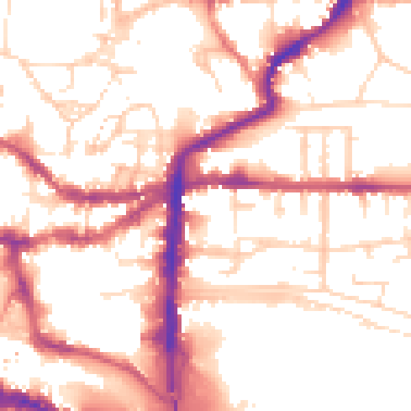
Daytime· 07:00 – 23:00
54.0dB

Night-time· 23:00 – 07:00
43.6dB