8 Austen Walk, Lincoln, LN2 4LP
About 8 Austen Walk
8 Austen Walk is a mid-terrace house in Lincoln (LN2 4LP). It has a recorded floor area of 85 m² (around 915 sq ft), construction records dating it to 1900-1929 and council tax band A. The latest certificate (March 2016) shows a D (score 55), a step below the typical UK home. The recommended improvements would lift it to B (score 89), a 2-band jump. The latest certificate is from March 2016, so improvements made since then won't be reflected.
It hasn't traded since December 2007, a hold of 18 years that's notably long for the area. That sale landed at the peak of the pre-credit-crunch market, which is a useful reference point when interpreting the price. Across 1995–2007, sale prices on this property compounded at 10.1% per year. Today's modelled estimate of £168,000 is 49.3% above the 2007 sale price. On a £-per-square-foot basis, the last sale (£123/sq ft) was about 40.4% above the typical sold price in the postcode.
Everything you need to know about 8 Austen Walk
The true value, the hidden risks and the full sale history, in one report.
Pick your report · every report is £14.99
One time fee only - money back guarantee

The data behind every report


Energy performance
Recommended upgrades on file would lift this property by multiple EPC bands.
EPC Expired
This certificate is over 10 years old and is no longer valid.Expired 11 Mar 2026
EPC Rating
Get a survey for this property
Level 3 Building Survey
Because the property was built before 1919 and has solid (non-cavity) walls, we believe a Level 3 building survey should be considered.
From £820 · Includes VAT
Planning history
8 Austen Walk has no planning applications on record.
But the area is active
6 notable applications nearby — larger schemes and conversions that could reshape the street. The report maps them all.
Sales history & valuation
Sale price has grown by over 3x since 1995.
£168,000
Modelled from EPC, postcode comparables and a sale-price growth of 10.1% per year over 13 years.
£112,500
Growth on file: 10.1% per year over 13 years.
Sales timeline
17 December 2007Most recent
£112,500
+12.6%over 3 years22 July 2004
£99,950
+202.9%over 9 years24 March 1995
£33,000
Median price across the last 5 sales in LN2 4LP: £102,000 (2015–2012).
Versus other Austen Walk homes
On years held, 8 Austen Walk stands well clear of the street.
Price per m²
£1,324
Street avg £1,108
Floor Area
85 m²
Street avg 85 m²
Habitable Rooms
6 rooms
Street avg 5 rooms
CO₂ Emissions
5.2 t/year
Street avg 3.5 t/year
Everything you need to know about 8 Austen Walk
The true value, the hidden risks and the full sale history, in one report.
Pick your report · every report is £14.99
One time fee only - money back guarantee
The data behind every report
Similar properties nearby
The neighbourhood at a glance
Crime
3/mo
Steady year-on-year across the wider district.
Nearest stop
0.1 km
Austen Walk — bus stop.
Closest school
0.2 km
St Giles Academy. 15 schools nearby.
Go deeper on the local area
A Local Area report breaks down crime, transport links, schools and air quality in depth.
Road noise across the postcode
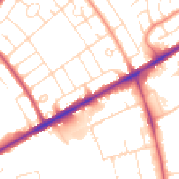
Daytime· 07:00 – 23:00
52.3dB

Night-time· 23:00 – 07:00
41.7dB