8 Balladine Road, Anstey, Leicester, LE7 7BE
About 8 Balladine Road
8 Balladine Road is a three-bedroom semi-detached house in Anstey, Leicester, Leicester (LE7 7BE). It has a recorded floor area of 84 m² (around 904 sq ft), construction records dating it to 1950-1966 and council tax band C. The latest certificate (August 2023) shows a D (score 66), on the cusp of jumping into the C band. The recommended improvements would lift it to B (score 81), a 2-band jump. Our model identifies extension potential, subject to local planning policy.
Today's modelled estimate of £295,000 is 21.9% above the 2024 sale price. On a £-per-square-foot basis, the last sale (£268/sq ft) was about 64.5% above the typical sold price in the postcode. Last sale on file: £242,000 in March 2024.
Know exactly what you're buying at 8 Balladine Road
Before you offer, see what the listing won't tell you, the true value, the red flags and the full history.
Already flagged here
Valuation
against the asking price
Risks
planning & flood
Sold prices
similar homes nearby
Trends
the local market
What this property has
Inside
- Bedrooms3
- Bathrooms1
- Open-plan layoutYes
- Dining roomYes
- EnsuiteYes
Outside
- Private gardenYes
- DrivewayYes
Building
- RefurbishedYes
- Extension potentialPossible
Energy performance
Recommended upgrades on file would lift this property by multiple EPC bands.
EPC Rating
Planning history
8 Balladine Road has no planning applications on record.
Notable planning nearby
5applications of note in the surrounding area
We flagged 1 thing worth checking at 8 Balladine Road
Independent checks surfaced things a buyer would want to understand before offering. The report explains each one in full, with the underlying data and what to ask.
- Larger development activity nearby
30-day money-back guarantee
Sales history & valuation
8 Balladine Road valuation sits well clear of the typical sold price in this postcode.
£295,000
Modelled from EPC, postcode comparables.
£242,000
Recorded with HM Land Registry.
Sales timeline
28 March 2024Most recent
£242,000
Median price across the last 5 sales in LE7 7BE: £286,000 (2025–2021).
Nearby sales in LE7 7BE
37 Balladine Road, Anstey, Leicester, LE7 7BE
Sold Mar 2025
£223,00025 Balladine Road, Anstey, Leicester, LE7 7BE
Sold Jan 2025
£300,00026 Balladine Road, Anstey, Leicester, LE7 7BE
Sold Nov 2024
£305,00017 Balladine Road, Anstey, Leicester, LE7 7BE
Sold Nov 2022
£285,00012 Balladine Road, Anstey, Leicester, LE7 7BE
Sold Apr 2021
£286,000
Everything we know about 8 Balladine Road, in one report
What it's really worth, what could be wrong, and the planning, sales and area data in full.
What we flagged
- Larger development activity nearby

Versus other Balladine Road homes
On habitable rooms, 8 Balladine Road runs well behind the street norm.
Price per m²
£2,881
Street avg £2,219
Floor Area
84 m²
Street avg 96 m²
Habitable Rooms
4 rooms
Street avg 5 rooms
CO₂ Emissions
3.5 t/year
Street avg 4.1 t/year
Similar properties nearby
1 Bates Hollow, Rothley
LE7 7RT
1 Birkdale Road, Anstey
LE7 7DF
1 Badgers Bank, Rothley
LE7 7PH
1 Burrow Drive, Rothley
LE7 7RZ
1 Brownhill Crescent, Rothley
LE7 7LA
1 Alvis Dale, Rothley
LE7 7QH
1 Anstige Avenue, Anstey
LE7 7TP
1 Barwell Drive, Rothley
LE7 7WB
The neighbourhood at a glance
Daytime road noise here sits well below conversation level — a quiet pocket of the postcode.
Crime
2/mo
Steady year-on-year across the wider district.
Nearest stop
0.1 km
Balladine Road — bus stop.
Closest school
0.3 km
Woolden Hill Primary School. 11 schools nearby.
Go deeper on the local area
The full report breaks down crime, transport links, schools and air quality in depth.
Road noise across the postcode
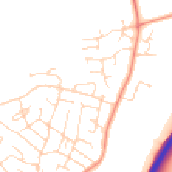
Daytime· 07:00 – 23:00
48.2dB

Night-time· 23:00 – 07:00
39.5dB