1 Archers Green, East Goscote, Leicester, LE7 3ZA
About 1 Archers Green
1 Archers Green is a three-bedroom property in East Goscote, Leicester, Leicester (LE7 3ZA). It has council tax band B.
It hasn't traded since December 1995, a hold of 31 years that's notably long for the area. Only one transfer is on record with HM Land Registry, suggesting it has stayed in the same hands for a long time. 2 planning records sit against the property, 1 approved, 0 refused.
Know exactly what you're buying at 1 Archers Green
Before you offer, see what the listing won't tell you, the true value, the red flags and the full history.
Valuation
against the asking price
Risks
planning & flood
Sold prices
similar homes nearby
Trends
the local market
What this property has
Inside
- Bedrooms3
Energy performance
No EPC on record
This property doesn't have an Energy Performance Certificate yet. An EPC is required to sell or let — and unlocks our automated valuation.
Planning history
- Jun 2004OutbuildingFullIn report
Erection of carport to side of dwelling.
- Council
- South
- Documents
- 21 docs on file
- Reference
- P/04/1306/2
- Feb 2004OutbuildingIn report
Proposed erection of a car port.
- Council
- South
- Reference
- P/04/0298/2
What's in 1 Archers Green, East Goscote, Leicester, LE7 3ZA's planning history?
Refusals, disputes and full decisions on this property and nearby, in the report.
Sales history & valuation
1 Archers Green has been held in the same hands since before 2000.
£43,000
Recorded with HM Land Registry.
Sales timeline
1 December 1995Most recent
£43,000
Median price across the last 5 sales in LE7 3ZA: £125,000 (2023–2005).
Nearby sales in LE7 3ZA
Everything we know about 1 Archers Green, in one report
What it's really worth, what could be wrong, and the planning, sales and area data in full.
- Am I paying too much?
- Is something wrong with it?
- Is the agent's story true?
- Will it hold its value?

Similar properties nearby
1 Campion Avenue, Queniborough
LE7 3GD
1 Chapel Close, Queniborough
LE7 3AE
1 Chestnut Close, Queniborough
LE7 3DW
1 Chestnut Way, East Goscote
LE7 3QQ
1 Daisy Close, Queniborough
LE7 3AD
1 Ervin Way, Queniborough
LE7 3TT
1 Avenue Close, Queniborough
LE7 3DS
1 Avenue Road, Queniborough
LE7 3FB
The neighbourhood at a glance
Crime
2/mo
Steady year-on-year across the wider district.
Nearest stop
0.2 km
Tinkers Dell — bus stop.
Closest school
0.5 km
Broomfield Community Primary School. 6 schools nearby.
Go deeper on the local area
The full report breaks down crime, transport links, schools and air quality in depth.
Road noise across the postcode
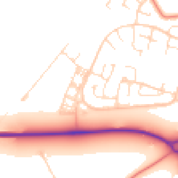
Daytime· 07:00 – 23:00
52.8dB

Night-time· 23:00 – 07:00
43.7dB