21 Heathbrook Drive, Ratby, Leicester, LE6 0XB
About 21 Heathbrook Drive
21 Heathbrook Drive is a four-bedroom detached house in Ratby, Leicester, Leicester (LE6 0XB). It has a recorded floor area of 115 m² (around 1238 sq ft), construction records dating it to 1983-1990 and council tax band D. The latest certificate (August 2024) shows a C (score 72). The recommended improvements would push it to B (score 82).
Untraded for 28 years, with the last transfer in September 1998. Only one transfer is on record with HM Land Registry, suggesting it has stayed in the same hands for a long time. Today's modelled estimate of £381,000 sits 292.8% above the 1998 sale of £97,000. On a £-per-square-foot basis, the last sale (£78/sq ft) was about 49.9% below the postcode norm. At 115 m² it's 26.2% larger than the typical home in the postcode (91 m² median across 16 EPCs).
What this property has
Inside
- Bedrooms4
- Bathrooms1
- Dining roomYes
- EnsuiteYes
Outside
- Private gardenRear
- GarageDetached
Building
- RefurbishedYes
Everything you need to know about 21 Heathbrook Drive
The true value, the hidden risks and the full sale history, in one report.
30-day money-back guarantee

The data behind every report


Energy performance
EPC Rating
Planning history
21 Heathbrook Drive has no planning applications on record.
The full report still covers planning activity across the surrounding area.
Sales history & valuation
21 Heathbrook Drive's estimated value is more than triple its earliest registered sale price (1998).
£381,000
Modelled from EPC, postcode comparables.
£97,000
Recorded with HM Land Registry.
Sales timeline
30 September 1998Most recent
£97,000
Median price across the last 5 sales in LE6 0XB: £290,000 (2023–2022).
Nearby sales in LE6 0XB
17 Heathbrook Drive, Ratby, Leicester, LE6 0XB
Sold Aug 2023
£267,00027 Heathbrook Drive, Ratby, Leicester, LE6 0XB
Sold Jun 2023
£287,50031 Heathbrook Drive, Ratby, Leicester, LE6 0XB
Sold Dec 2022
£385,0008 Heathbrook Drive, Ratby, Leicester, LE6 0XB
Sold Oct 2022
£290,00010 Heathbrook Drive, Ratby, Leicester, LE6 0XB
Sold Mar 2022
£445,000
Versus other Heathbrook Drive homes
On price per m², 21 Heathbrook Drive runs well behind the street norm.
Price per m²
£843
Street avg £2,485
Floor Area
115 m²
Street avg 89 m²
Habitable Rooms
6 rooms
Street avg 5 rooms
CO₂ Emissions
3.8 t/year
Street avg 3.2 t/year
Everything you need to know about 21 Heathbrook Drive
The true value, the hidden risks and the full sale history, in one report.
30-day money-back guarantee
The data behind every report
Similar properties nearby
1 Astill Close, Ratby
LE6 0SA
1 Buttercup Grove, Ratby
LE6 0PE
1 Buckingham Close, Groby
LE6 0YX
1 Bluebell Drive, Groby
LE6 0AX
1 Butler Close, Ratby
LE6 0GD
1 Brook Drive, Ratby
LE6 0AQ
1 Castle Rise, Groby
LE6 0YQ
1 Ash Court, Groby
LE6 0EH
The neighbourhood at a glance
Crime
2/mo
Steady year-on-year across the wider district.
Nearest stop
0.1 km
Heathbrook Drive — bus stop.
Closest school
0.7 km
Ratby Primary School. 9 schools nearby.
Go deeper on the local area
The full report breaks down crime, transport links, schools and air quality in depth.
Road noise across the postcode
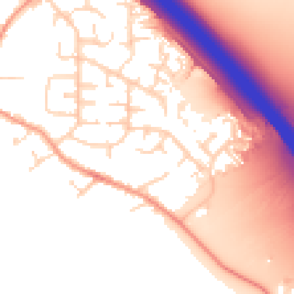
Daytime· 07:00 – 23:00
55.0dB

Night-time· 23:00 – 07:00
47.4dB