8 Heathbrook Drive, Ratby, Leicester, LE6 0XB
About 8 Heathbrook Drive
8 Heathbrook Drive is a three-bedroom semi-detached house in Ratby, Leicester, Leicester (LE6 0XB). It has a recorded floor area of 78 m² (around 840 sq ft), construction records dating it to 1983-1990 and council tax band C. The latest certificate (August 2022) shows a C (score 72). The recommended improvements would push it to B (score 86).
On a £-per-square-foot basis, the last sale (£345/sq ft) was about 122.5% above the typical sold price in the postcode. At 78 m² it's 16.2% smaller than the typical home in the postcode (93 m² median across 16 EPCs). Most recent transfer: October 2022 at £290,000. That sale was during the post-pandemic price surge, when transactions cleared materially above pre-2020 trend.
What this property has
Inside
- Bedrooms3
- Bathrooms1
Outside
- GarageYes
Everything you need to know about 8 Heathbrook Drive
The true value, the hidden risks and the full sale history, in one report.
30-day money-back guarantee

The data behind every report


Energy performance
EPC Rating
Planning history
8 Heathbrook Drive has no planning applications on record.
The full report still covers planning activity across the surrounding area.
Sales history & valuation
The latest sale landed in the post-pandemic price surge — useful context when reading the figure.
£309,000
Modelled from EPC, postcode comparables.
£290,000
Recorded with HM Land Registry.
Sales timeline
20 October 2022Most recent
£290,000
Median price across the last 5 sales in LE6 0XB: £287,500 (2023–2019).
Nearby sales in LE6 0XB
17 Heathbrook Drive, Ratby, Leicester, LE6 0XB
Sold Aug 2023
£267,00027 Heathbrook Drive, Ratby, Leicester, LE6 0XB
Sold Jun 2023
£287,50031 Heathbrook Drive, Ratby, Leicester, LE6 0XB
Sold Dec 2022
£385,00010 Heathbrook Drive, Ratby, Leicester, LE6 0XB
Sold Mar 2022
£445,00033 Heathbrook Drive, Ratby, Leicester, LE6 0XB
Sold Mar 2019
£286,000
Versus other Heathbrook Drive homes
On price per m², 8 Heathbrook Drive stands well clear of the street.
Price per m²
£3,718
Street avg £2,280
Floor Area
78 m²
Street avg 91 m²
Habitable Rooms
4 rooms
Street avg 5 rooms
CO₂ Emissions
2.7 t/year
Street avg 3.3 t/year
Everything you need to know about 8 Heathbrook Drive
The true value, the hidden risks and the full sale history, in one report.
30-day money-back guarantee
The data behind every report
Similar properties nearby
1 Brook Drive, Ratby
LE6 0AQ
1 Castle Rise, Groby
LE6 0YQ
1 Ash Court, Groby
LE6 0EH
1 Bumblebee Close, Ratby
LE6 0PB
1 Castell Drive, Groby
LE6 0DE
1 Cedar Court, Groby
LE6 0ET
1 Bailey View, Groby
LE6 0FF
1 Astill Close, Ratby
LE6 0SA
The neighbourhood at a glance
Crime
2/mo
Steady year-on-year across the wider district.
Nearest stop
0.1 km
Heathbrook Drive — bus stop.
Closest school
0.7 km
Ratby Primary School. 9 schools nearby.
Go deeper on the local area
The full report breaks down crime, transport links, schools and air quality in depth.
Road noise across the postcode
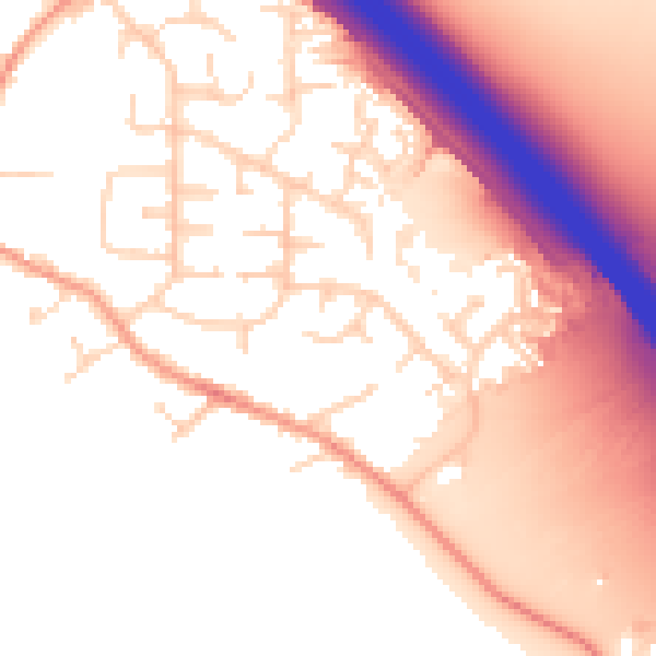
Daytime· 07:00 – 23:00
55.0dB

Night-time· 23:00 – 07:00
47.4dB