5a, Groby Road, Ratby, Leicester, LE6 0LJ
About 5a
5a is a detached house in Ratby, Leicester, Leicester (LE6 0LJ). It has a recorded floor area of 73 m² (around 786 sq ft), construction records dating it to 1983-1990 and council tax band A. The latest certificate (December 2020) shows a D (score 58), a step below the typical UK home.
Held since February 1999 — that's 27 years off the open market, well above the local norm. Across 1995–1999, sale prices on this property compounded at 5.3% per year. Today's modelled estimate of £171,000 sits 200% above the 1999 sale of £57,000. On a £-per-square-foot basis, the last sale (£73/sq ft) was about 61.3% below the postcode norm. At 73 m² it sits well below the postcode median (109 m² across 21 EPCs), making it one of the more compact homes locally.
Everything you need to know about 5a
The true value, the hidden risks and the full sale history, in one report.
30-day money-back guarantee

The data behind every report


Energy performance
EPC Rating
Planning history
5a has no planning applications on record.
The full report still covers planning activity across the surrounding area.
Sales history & valuation
Latest sale on 5a was the lowest on Land Registry record across the postcode.
£171,000
Modelled from EPC, postcode comparables and a sale-price growth of 5.3% per year over 3 years.
£57,000
Growth on file: 5.3% per year over 3 years.
Sales timeline
1 February 1999Most recent
£57,000
+18.8%over 3 years9 October 1995
£48,000
Median price across the last 5 sales in LE6 0LJ: £575,000 (2025–2022).
Nearby sales in LE6 0LJ
1 Groby Road, Ratby, Leicester, LE6 0LJ
Sold May 2025
£800,0005 Groby Road, Ratby, Leicester, LE6 0LJ
Sold Jul 2024
£240,00015 Groby Road, Ratby, Leicester, LE6 0LJ
Sold Jul 2024
£700,00020 Groby Road, Ratby, Leicester, LE6 0LJ
Sold Feb 2023
£425,0009 Groby Road, Ratby, Leicester, LE6 0LJ
Sold Aug 2022
£575,000
Versus other Groby Road homes
On price per m², 5a runs well behind the street norm.
Price per m²
£781
Street avg £2,393
Floor Area
73 m²
Street avg 140 m²
Habitable Rooms
4 rooms
Street avg 6 rooms
CO₂ Emissions
4.0 t/year
Street avg 6.1 t/year
Everything you need to know about 5a
The true value, the hidden risks and the full sale history, in one report.
30-day money-back guarantee
The data behind every report
Similar properties nearby
1 Bevington Close, Ratby
LE6 0LX
1 Ash Close, Ratby
LE6 0LY
1 Carmen Grove, Groby
LE6 0BA
1 Branting Hill, Groby
LE6 0DB
1 Bumblebee Close, Ratby
LE6 0PB
1 Ash Court, Groby
LE6 0EH
1 Brookvale Cottages, Ratby Road, Groby
LE6 0BS
1 Bennion Close, Groby
LE6 0DU
The neighbourhood at a glance
Crime
2/mo
Steady year-on-year across the wider district.
Nearest stop
0.1 km
Dane Hill — bus stop.
Closest school
0.4 km
Ratby Primary School. 7 schools nearby.
Go deeper on the local area
The full report breaks down crime, transport links, schools and air quality in depth.
Road noise across the postcode
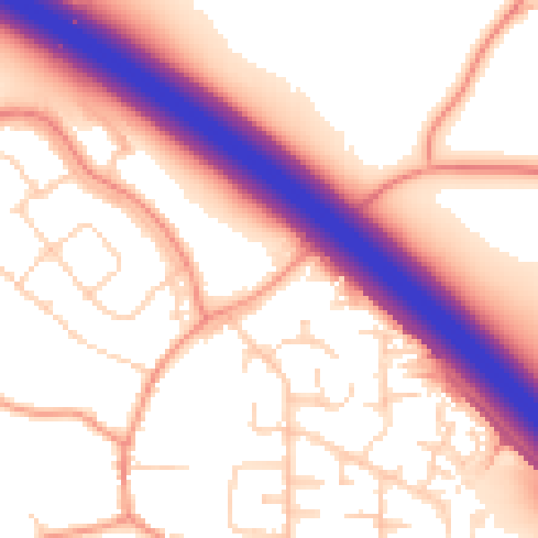
Daytime· 07:00 – 23:00
56.8dB

Night-time· 23:00 – 07:00
49.0dB