9 Ferrers Rise, Groby, Leicester, LE6 0GS
About 9 Ferrers Rise
9 Ferrers Rise is a semi-detached house in Groby, Leicester, Leicester (LE6 0GS). It has a recorded floor area of 45 m² (around 484 sq ft), construction records dating it to 1976-1982 and council tax band B. The latest certificate (October 2013) shows an E (score 41), well below the UK norm with real room to improve. The recommended improvements would lift it to C (score 76), a 2-band jump. Main heating runs on lpg. The latest certificate is from October 2013, so improvements made since then won't be reflected.
At 45 m² it sits well below the postcode median (71 m² across 7 EPCs), making it one of the more compact homes locally. It lags the bulk of the postcode on energy efficiency (less efficient than 86% of similar EPCs).
Everything you need to know about 9 Ferrers Rise
The true value, the hidden risks and the full sale history, in one report.
30-day money-back guarantee

The data behind every report


Energy performance
Recommended upgrades on file would lift this property by multiple EPC bands.
EPC Expired
This certificate is over 10 years old and is no longer valid.Expired 17 Oct 2023
EPC Rating
Planning history
9 Ferrers Rise has no planning applications on record.
The full report still covers planning activity across the surrounding area.
Sales history & valuation
9 Ferrers Rise has no Land Registry sales on file, suggesting it has stayed in the same hands since registration began.
£198,000
Modelled from EPC, postcode comparables.
No sales recorded with HM Land Registry
That can mean the property has never traded since the registry began publishing in 1995, was a new build that hasn't been registered yet, or is held in the same hands long-term.
Median price across the last 5 sales in LE6 0GS: £258,000 (2025–2017).
Nearby sales in LE6 0GS
1 Ferrers Rise, Groby, Leicester, LE6 0GS
Sold Jan 2025
£278,00018 Ferrers Rise, Groby, Leicester, LE6 0GS
Sold Feb 2024
£262,0003 Ferrers Rise, Groby, Leicester, LE6 0GS
Sold Dec 2017
£185,00014 Ferrers Rise, Groby, Leicester, LE6 0GS
Sold Oct 2017
£172,5007 Ferrers Rise, Groby, Leicester, LE6 0GS
Sold May 2012
£148,500
Versus other Ferrers Rise homes
9 Ferrers Rise is notably below the street on epc rating.
EPC Rating
41 (E)
Street avg 61 (D)
Floor Area
45 m²
Street avg 68 m²
CO₂ Emissions
2.8 t/year
Street avg 3.5 t/year
Habitable Rooms
2 rooms
Street avg 3 rooms
Everything you need to know about 9 Ferrers Rise
The true value, the hidden risks and the full sale history, in one report.
30-day money-back guarantee
The data behind every report
Similar properties nearby
1 Ash Close, Ratby
LE6 0LY
1 Bevington Close, Ratby
LE6 0LX
1 Carmen Grove, Groby
LE6 0BA
1 Branting Hill, Groby
LE6 0DB
1 Bumblebee Close, Ratby
LE6 0PB
1 Ash Court, Groby
LE6 0EH
1 Brookvale Cottages, Ratby Road, Groby
LE6 0BS
1 Bennion Close, Groby
LE6 0DU
The neighbourhood at a glance
Crime
2/mo
Steady year-on-year across the wider district.
Nearest stop
0.2 km
Highfield Road — bus stop.
Closest school
0.3 km
Elizabeth Woodville Primary School. 8 schools nearby.
Go deeper on the local area
The full report breaks down crime, transport links, schools and air quality in depth.
Road noise across the postcode
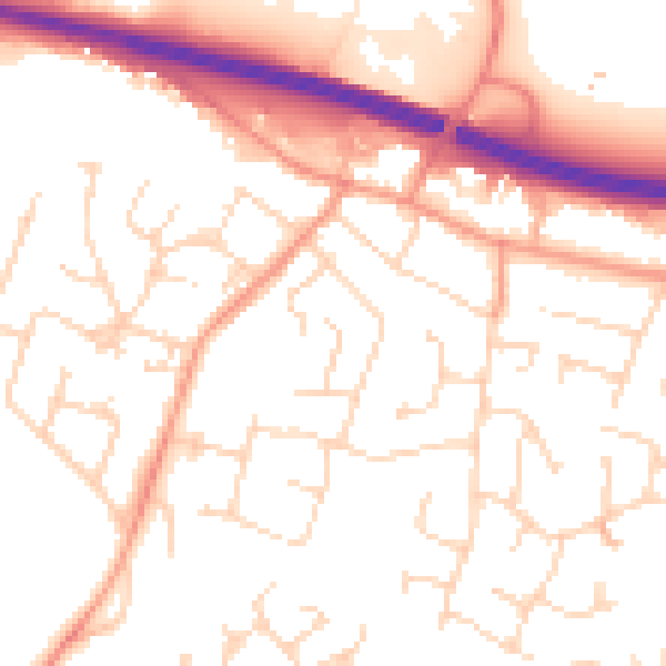
Daytime· 07:00 – 23:00
53.1dB

Night-time· 23:00 – 07:00
43.2dB