3 Ferrers Rise, Groby, Leicester, LE6 0GS
About 3 Ferrers Rise
3 Ferrers Rise is a two-bedroom detached house in Groby, Leicester, Leicester (LE6 0GS). It has a recorded floor area of 74 m² (around 797 sq ft), construction records dating it to 1967-1975 and council tax band C. The latest certificate (January 2017) shows an E (score 42), well below the UK norm with real room to improve. The recommended improvements would push it to D (score 66).
It lags the bulk of the postcode on energy efficiency (less efficient than 86% of similar EPCs). Today's modelled estimate of £270,000 is 45.9% above the 2017 sale price. On a £-per-square-foot basis, the last sale (£232/sq ft) was about 21.6% above the typical sold price in the postcode. 8 years since the last transfer (December 2017).
What this property has
Inside
- Bedrooms2
- Dining roomYes
Outside
- Private gardenYes
- GarageYes
- Summer houseYes
Everything you need to know about 3 Ferrers Rise
The true value, the hidden risks and the full sale history, in one report.
30-day money-back guarantee

The data behind every report


Energy performance
3 Ferrers Rise's carbon output runs well above what efficient homes in the postcode produce.
EPC Rating
Planning history
3 Ferrers Rise has no planning applications on record.
The full report still covers planning activity across the surrounding area.
Sales history & valuation
3 Ferrers Rise valuation sits well clear of the typical sold price in this postcode.
£270,000
Modelled from EPC, postcode comparables.
£185,000
Recorded with HM Land Registry.
Sales timeline
15 December 2017Most recent
£185,000
Median price across the last 5 sales in LE6 0GS: £258,000 (2025–2017).
Nearby sales in LE6 0GS
1 Ferrers Rise, Groby, Leicester, LE6 0GS
Sold Jan 2025
£278,00018 Ferrers Rise, Groby, Leicester, LE6 0GS
Sold Feb 2024
£262,00014 Ferrers Rise, Groby, Leicester, LE6 0GS
Sold Oct 2017
£172,5007 Ferrers Rise, Groby, Leicester, LE6 0GS
Sold May 2012
£148,5004 Ferrers Rise, Groby, Leicester, LE6 0GS
Sold Oct 2010
£157,950
Versus other Ferrers Rise homes
On co₂ emissions, 3 Ferrers Rise runs well behind the street norm.
Price per m²
£2,500
Street avg £2,552
Floor Area
74 m²
Street avg 64 m²
Habitable Rooms
4 rooms
Street avg 3 rooms
CO₂ Emissions
6.4 t/year
Street avg 3.0 t/year
Everything you need to know about 3 Ferrers Rise
The true value, the hidden risks and the full sale history, in one report.
30-day money-back guarantee
The data behind every report
Similar properties nearby
1 Bailey View, Groby
LE6 0FF
1 Carmen Grove, Groby
LE6 0BA
1 Castell Drive, Groby
LE6 0DE
1 Cedar Court, Groby
LE6 0ET
1 Bracken Hill, Newtown Linford
LE6 0HJ
1 Castle Rise, Groby
LE6 0YQ
1 Brook Drive, Ratby
LE6 0AQ
1 Ash Court, Groby
LE6 0EH
The neighbourhood at a glance
Crime
2/mo
Steady year-on-year across the wider district.
Nearest stop
0.2 km
Highfield Road — bus stop.
Closest school
0.3 km
Elizabeth Woodville Primary School. 8 schools nearby.
Go deeper on the local area
The full report breaks down crime, transport links, schools and air quality in depth.
Road noise across the postcode
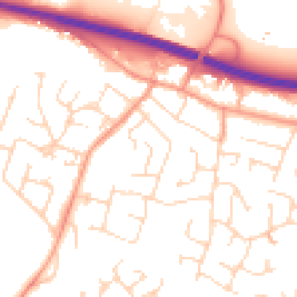
Daytime· 07:00 – 23:00
53.1dB

Night-time· 23:00 – 07:00
43.2dB