16 Firtree Walk, Groby, Leicester, LE6 0FN
About 16 Firtree Walk
16 Firtree Walk is a mid-terrace house in Groby, Leicester, Leicester (LE6 0FN). It has a recorded floor area of 52 m² (around 560 sq ft), construction records dating it to 1967-1975 and council tax band B. The latest certificate (January 2014) shows an E (score 50), well below the UK norm with real room to improve. The recommended improvements would lift it to B (score 83), a 3-band jump. The latest certificate is from January 2014, so improvements made since then won't be reflected.
At 52 m² it sits well below the postcode median (76 m² across 11 EPCs), making it one of the more compact homes locally. On energy efficiency it sits in the bottom 10% of properties in this postcode — significant headroom for improvement. Today's modelled estimate of £181,000 sits 193.7% above the 2014 sale of £61,625. On a £-per-square-foot basis, the last sale (£110/sq ft) was about 35% below the postcode norm. 12 years since the last transfer (January 2014).
Everything you need to know about 16 Firtree Walk
The true value, the hidden risks and the full sale history, in one report.
30-day money-back guarantee

The data behind every report


Energy performance
16 Firtree Walk sits at the bottom of the postcode for energy efficiency — meaningful headroom to improve.
EPC Expired
This certificate is over 10 years old and is no longer valid.Expired 23 Jan 2024
EPC Rating
Planning history
16 Firtree Walk has no planning applications on record.
The full report still covers planning activity across the surrounding area.
Sales history & valuation
16 Firtree Walk valuation sits well clear of the typical sold price in this postcode.
£181,000
Modelled from EPC, postcode comparables.
£61,625
Recorded with HM Land Registry.
Sales timeline
31 January 2014Most recent
£61,625
Median price across the last 5 sales in LE6 0FN: £219,000 (2025–2024).
Nearby sales in LE6 0FN
15 Firtree Walk, Groby, Leicester, LE6 0FN
Sold Mar 2025
£206,0002 Firtree Walk, Groby, Leicester, LE6 0FN
Sold Mar 2025
£272,00014 Firtree Walk, Groby, Leicester, LE6 0FN
Sold Jun 2024
£205,00012 Firtree Walk, Groby, Leicester, LE6 0FN
Sold Jun 2024
£225,0003 Firtree Walk, Groby, Leicester, LE6 0FN
Sold Mar 2024
£219,000
Versus other Firtree Walk homes
On epc rating, 16 Firtree Walk runs well behind the street norm.
Price per m²
£1,185
Street avg £2,449
Floor Area
52 m²
Street avg 77 m²
Habitable Rooms
5 rooms
Street avg 4 rooms
CO₂ Emissions
3.6 t/year
Street avg 3.0 t/year
Everything you need to know about 16 Firtree Walk
The true value, the hidden risks and the full sale history, in one report.
30-day money-back guarantee
The data behind every report
Similar properties nearby
1 Bevington Close, Ratby
LE6 0LX
1 Ash Close, Ratby
LE6 0LY
1 Carmen Grove, Groby
LE6 0BA
1 Branting Hill, Groby
LE6 0DB
1 Bumblebee Close, Ratby
LE6 0PB
1 Ash Court, Groby
LE6 0EH
1 Brookvale Cottages, Ratby Road, Groby
LE6 0BS
1 Bennion Close, Groby
LE6 0DU
The neighbourhood at a glance
Crime
2/mo
Steady year-on-year across the wider district.
Nearest stop
0.1 km
Stephenson Close — bus stop.
Closest school
0.3 km
Martinshaw Primary School. 8 schools nearby.
Go deeper on the local area
The full report breaks down crime, transport links, schools and air quality in depth.
Road noise across the postcode
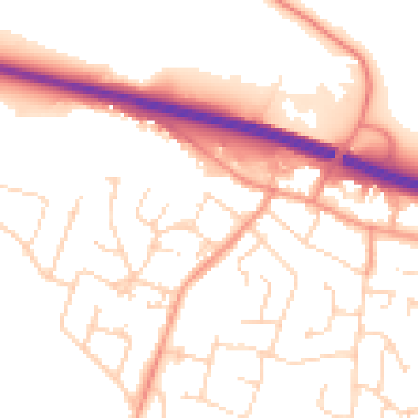
Daytime· 07:00 – 23:00
53.0dB

Night-time· 23:00 – 07:00
43.4dB