14 Firtree Walk, Groby, Leicester, LE6 0FN
About 14 Firtree Walk
14 Firtree Walk is a mid-terrace house in Groby, Leicester, Leicester (LE6 0FN). It has a recorded floor area of 74 m² (around 797 sq ft), construction records dating it to 1976-1982 and council tax band B. The latest certificate (February 2024) shows a C (score 70). The recommended improvements would push it to B (score 87).
On a £-per-square-foot basis, the last sale (£257/sq ft) was about 55.3% above the typical sold price in the postcode. Most recent transfer: June 2024 at £205,000.
Everything you need to know about 14 Firtree Walk
The true value, the hidden risks and the full sale history, in one report.
30-day money-back guarantee

The data behind every report


Energy performance
EPC Rating
Planning history
14 Firtree Walk has no planning applications on record.
The full report still covers planning activity across the surrounding area.
Sales history & valuation
14 Firtree Walk valuation sits well clear of the typical sold price in this postcode.
£218,000
Modelled from EPC, postcode comparables.
£205,000
Recorded with HM Land Registry.
Sales timeline
6 June 2024Most recent
£205,000
Median price across the last 5 sales in LE6 0FN: £225,000 (2025–2023).
Nearby sales in LE6 0FN
15 Firtree Walk, Groby, Leicester, LE6 0FN
Sold Mar 2025
£206,0002 Firtree Walk, Groby, Leicester, LE6 0FN
Sold Mar 2025
£272,00012 Firtree Walk, Groby, Leicester, LE6 0FN
Sold Jun 2024
£225,0003 Firtree Walk, Groby, Leicester, LE6 0FN
Sold Mar 2024
£219,0008 Firtree Walk, Groby, Leicester, LE6 0FN
Sold Jun 2023
£250,000
Versus other Firtree Walk homes
Years Held for 14 Firtree Walk lags the street by a wide margin.
Price per m²
£2,770
Street avg £2,305
Floor Area
74 m²
Street avg 75 m²
Habitable Rooms
4 rooms
Street avg 5 rooms
CO₂ Emissions
2.8 t/year
Street avg 3.1 t/year
Everything you need to know about 14 Firtree Walk
The true value, the hidden risks and the full sale history, in one report.
30-day money-back guarantee
The data behind every report
Similar properties nearby
1 Carmen Grove, Groby
LE6 0BA
1 Branting Hill, Groby
LE6 0DB
1 Ash Close, Ratby
LE6 0LY
1 Bumblebee Close, Ratby
LE6 0PB
1 Ash Court, Groby
LE6 0EH
1 Brookvale Cottages, Ratby Road, Groby
LE6 0BS
1 Bevington Close, Ratby
LE6 0LX
1 Bennion Close, Groby
LE6 0DU
The neighbourhood at a glance
Crime
2/mo
Steady year-on-year across the wider district.
Nearest stop
0.1 km
Stephenson Close — bus stop.
Closest school
0.3 km
Martinshaw Primary School. 8 schools nearby.
Go deeper on the local area
The full report breaks down crime, transport links, schools and air quality in depth.
Road noise across the postcode
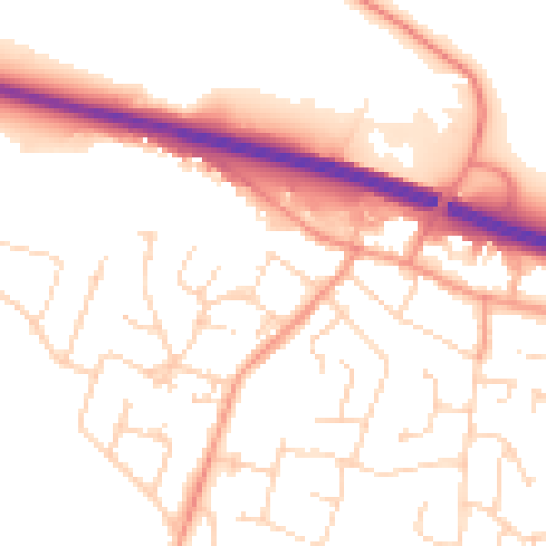
Daytime· 07:00 – 23:00
53.0dB

Night-time· 23:00 – 07:00
43.4dB