49a, Moorside Road, Brookhouse, Lancaster, LA2 9PJ
About 49a
49a is a three-bedroom detached house in Brookhouse, Lancaster, Lancaster (LA2 9PJ). It has a recorded floor area of 120 m² (around 1292 sq ft), construction records dating it to 1976-1982 and council tax band D. The latest certificate (April 2017) shows a D (score 67), on the cusp of jumping into the C band. The recommended improvements would push it to C (score 76).
At 120 m² the property is well over the postcode median (89 m² across 28 EPCs), placing it in the larger end of the local stock. 2 planning records sit against the property, 2 approved, 0 refused. Past consents include an extension, meaningful when judging how the property has evolved. Across 2017–2021, sale prices on this property compounded at 12.1% per year. On a £-per-square-foot basis, the last sale (£324/sq ft) was about 52.4% above the typical sold price in the postcode. Most recent transfer: May 2021 at £419,000. That sale was during the post-pandemic price surge, when transactions cleared materially above pre-2020 trend.
Know exactly what you're buying at 49a
Before you offer, see what the listing won't tell you, the true value, the red flags and the full history.
Already flagged here
Launch offer · save £5
Valuation
against the asking price
Risks
planning & flood
Sold prices
similar homes nearby
Trends
the local market
What this property has
Inside
- Bedrooms3
- Bathrooms2
Energy performance
EPC Rating
Planning history
49a has an approved single-storey rear extension on the planning record.
- Jan 2018ExtensionFullIn report
Extension: Single storey · Rear of property
Erection of single storey rear extensions, changes to external materials and erection of a replacement carport
- Agent
- Rocket Architects LLP
- Documents
- 9 docs on file
- Reference
- 17/01379/FUL
- Nov 2006ExtensionFullIn report
Extension: Single storey · Rear of property
Erection of a single storey extension to form utility and additional lounge space.
- Documents
- 5 docs on file
- Reference
- 06/01155/FUL
We flagged 1 thing worth checking at 49a
Independent checks surfaced things a buyer would want to understand before offering. The report explains each one in full, with the underlying data and what to ask.
- Larger development activity nearby
30-day money-back guarantee
Sales history & valuation
Latest sale on 49a was the highest on Land Registry record across the postcode.
£459,000
Modelled from EPC, postcode comparables and a sale-price growth of 12.1% per year over 4 years.
£419,000
Growth on file: 12.1% per year over 4 years.
Sales timeline
6 May 2021Most recent
£419,000
+55.2%over 3 years29 June 2017
£270,000
Median price across the last 5 sales in LA2 9PJ: £299,950 (2025–2023).
Nearby sales in LA2 9PJ
26 Moorside Road, Brookhouse, Lancaster, LA2 9PJ
Sold May 2025
£299,95019 Moorside Road, Brookhouse, Lancaster, LA2 9PJ
Sold Feb 2024
£278,00055 Moorside Road, Brookhouse, Lancaster, LA2 9PJ
Sold May 2023
£360,00015 Moorside Road, Brookhouse, Lancaster, LA2 9PJ
Sold Mar 2023
£385,0003 Moorside Road, Brookhouse, Lancaster, LA2 9PJ
Sold Feb 2023
£155,000
Everything we know about 49a, in one report
What it's really worth, what could be wrong, and the planning, sales and area data in full.
What we flagged
- Larger development activity nearby

Versus other Moorside Road homes
49a outperforms the street on price per m² by a wide margin.
Price per m²
£3,492
Street avg £2,393
Floor Area
120 m²
Street avg 97 m²
Habitable Rooms
4 rooms
Street avg 5 rooms
CO₂ Emissions
5.1 t/year
Street avg 5.8 t/year
Similar properties nearby
1 Caton Green Road, Brookhouse
LA2 9JL
1 Farriers Yard, Caton
LA2 9RW
1 Chapel Square, Brookhouse
LA2 9PL
1 Claughton Terrace, Hornby Road, Claughton
LA2 9JZ
1 Church Close, Dolphinholme
LA2 9AL
1 Forge Mill, Caton
LA2 9NB
1 Escowbeck House, Crook O Lune
LA2 9HS
1 Broadacre View, Caton
LA2 9NN
The neighbourhood at a glance
Daytime road noise here sits well below conversation level — a quiet pocket of the postcode.
Crime
3/mo
Steady year-on-year across the wider district.
Nearest stop
0.0 km
St Pauls CEPS — bus stop.
Closest school
0.0 km
Caton St Paul's Church of England Primary School. 2 schools nearby.
Go deeper on the local area
The full report breaks down crime, transport links, schools and air quality in depth.
Road noise across the postcode
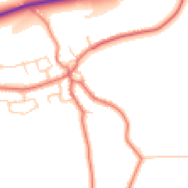
Daytime· 07:00 – 23:00
48.5dB

Night-time· 23:00 – 07:00
39.2dB