45 Ashbrook Drive, Liverpool, L9 7LU
About 45 Ashbrook Drive
45 Ashbrook Drive is a three-bedroom detached house in Liverpool (L9 7LU). It has a recorded floor area of 98 m² (around 1055 sq ft), construction records dating it to 1983-1990 and council tax band D. The latest certificate (August 2025) shows a D (score 64), on the cusp of jumping into the C band. The rating has held steady at D across 2 certificates since November 2011. Between certificates, roof efficiency went from Good to Very Good; while window efficiency dropped from Average to Poor. The recommended improvements would push it to C (score 76).
Across 1999–2014, sale prices on this property compounded at 3.4% per year. Today's modelled estimate of £273,000 sits 110% above the 2014 sale of £130,000. On a £-per-square-foot basis, the last sale (£123/sq ft) was about 49.1% above the typical sold price in the postcode. Last sold in August 2014, so it's been off the market for around 12 years. At 98 m² it's 15.5% smaller than the typical home in the postcode (116 m² median across 47 EPCs).
Know exactly what you're buying at 45 Ashbrook Drive
Before you offer, see what the listing won't tell you, the true value, the red flags and the full history.
Valuation
against the asking price
Risks
planning & flood
Sold prices
similar homes nearby
Trends
the local market
What this property has
Inside
- Bedrooms3
- Bathrooms2
Energy performance
EPC Rating
Property Improvements
Changes detected from historical EPC data
Heating controls changed
Roof insulation improved
More low energy lighting installed
Planning history
45 Ashbrook Drive has no planning applications on record.
The full report still covers planning activity across the surrounding area.
Sales history & valuation
45 Ashbrook Drive's estimated value is more than triple its earliest registered sale price (1999).
£273,000
Modelled from EPC, postcode comparables and a sale-price growth of 3.4% per year over 15 years.
£130,000
Growth on file: 3.4% per year over 15 years.
Sales timeline
28 August 2014Most recent
£130,000
+333.3%over 5 years19 November 2008
£30,000
-62.0%over 9 years21 October 1999
£78,950
Median price across the last 5 sales in L9 7LU: £177,000 (2024–2019).
Nearby sales in L9 7LU
Everything we know about 45 Ashbrook Drive, in one report
What it's really worth, what could be wrong, and the planning, sales and area data in full.
- Am I paying too much?
- Is something wrong with it?
- Is the agent's story true?
- Will it hold its value?

Versus other Ashbrook Drive homes
Years Held for 45 Ashbrook Drive lags the street by a wide margin.
Price per m²
£1,327
Street avg £1,153
Floor Area
98 m²
Street avg 116 m²
Habitable Rooms
5 rooms
Street avg 5 rooms
CO₂ Emissions
4.1 t/year
Street avg 5.4 t/year
Similar properties nearby
105 Whitewood Park
L9 7LF
101 Whitewood Park
L9 7LF
103 Ashbrook Drive
L9 7LU
105 Ashbrook Drive
L9 7LU
107 Ashbrook Drive
L9 7LU
1 Hartleys Village
L9 7AH
102 Whitewood Park
L9 7LG
1 Ashbrook Drive
L9 7LU
The neighbourhood at a glance
Rail-style transport is unusually close for this postcode.
Crime
33/mo
Steady year-on-year across the wider district.
Nearest stop
0.4 km
Bradville Road — bus stop.
Closest school
0.5 km
Archbishop Beck Catholic College. 31 schools nearby.
Go deeper on the local area
The full report breaks down crime, transport links, schools and air quality in depth.
Road noise across the postcode
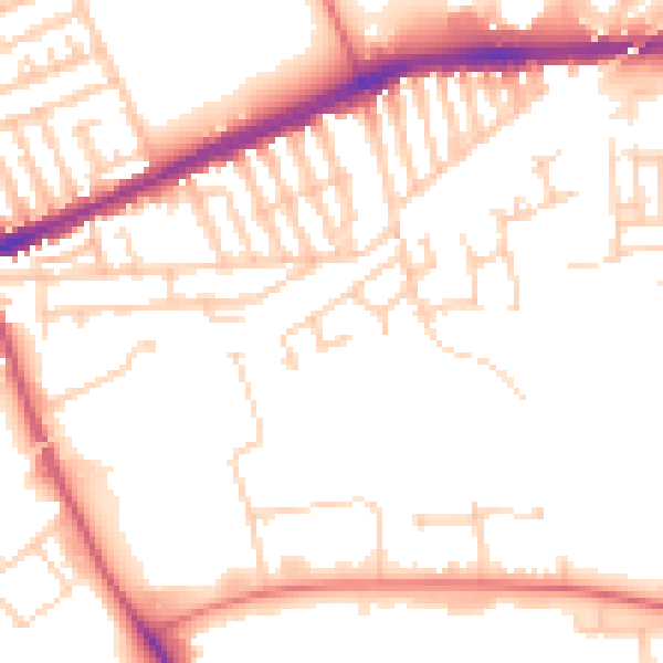
Daytime· 07:00 – 23:00
51.7dB

Night-time· 23:00 – 07:00
42.1dB