5 Ashbrook Drive, Liverpool, L9 7LU
About 5 Ashbrook Drive
5 Ashbrook Drive is a three-bedroom detached house in Liverpool (L9 7LU). It has a recorded floor area of 79 m² (around 850 sq ft), construction records dating it to 1996-2002 and council tax band D. The latest certificate (October 2012) shows a D (score 65), on the cusp of jumping into the C band. The recommended improvements would lift it to B (score 81), a 2-band jump. The latest certificate is from October 2012, so improvements made since then won't be reflected.
At 79 m² it sits well below the postcode median (116 m² across 47 EPCs), making it one of the more compact homes locally. Across 2001–2021, sale prices on this property compounded at 6.2% per year. Today's modelled estimate of £261,000 is 41.1% above the 2021 sale price. On a £-per-square-foot basis, the last sale (£218/sq ft) was about 166.1% above the typical sold price in the postcode. Last sale on file: £185,000 in April 2021. That sale was during the post-pandemic price surge, when transactions cleared materially above pre-2020 trend.
Know exactly what you're buying at 5 Ashbrook Drive
Before you offer, see what the listing won't tell you, the true value, the red flags and the full history.
Valuation
against the asking price
Risks
planning & flood
Sold prices
similar homes nearby
Trends
the local market
What this property has
Inside
- Bedrooms3
- Utility roomYes
- CloakroomYes
- EnsuiteYes
Outside
- Private gardenRear
- GarageYes
Building
- Heating systemGas
Energy performance
Recommended upgrades on file would lift this property by multiple EPC bands.
EPC Expired
This certificate is over 10 years old and is no longer valid.Expired 25 Oct 2022
EPC Rating
Planning history
5 Ashbrook Drive has no planning applications on record.
The full report still covers planning activity across the surrounding area.
Sales history & valuation
5 Ashbrook Drive has more than tripled in price since its earliest registered sale in 2001.
£261,000
Modelled from EPC, postcode comparables and a sale-price growth of 6.2% per year over 20 years.
£185,000
Growth on file: 6.2% per year over 20 years.
Sales timeline
29 April 2021Most recent
£185,000
+34.5%over 7 years28 February 2014
£137,500
+145.5%over 12 years17 May 2001
£56,000
Median price across the last 5 sales in L9 7LU: £168,000 (2024–2017).
Nearby sales in L9 7LU
Everything we know about 5 Ashbrook Drive, in one report
What it's really worth, what could be wrong, and the planning, sales and area data in full.
- Am I paying too much?
- Is something wrong with it?
- Is the agent's story true?
- Will it hold its value?

Versus other Ashbrook Drive homes
Price per m² for 5 Ashbrook Drive runs comfortably ahead of the street norm.
Price per m²
£2,342
Street avg £1,130
Floor Area
79 m²
Street avg 117 m²
Habitable Rooms
4 rooms
Street avg 5 rooms
CO₂ Emissions
3.1 t/year
Street avg 5.4 t/year
Similar properties nearby
105 Whitewood Park
L9 7LF
103 Ashbrook Drive
L9 7LU
105 Ashbrook Drive
L9 7LU
101 Whitewood Park
L9 7LF
107 Ashbrook Drive
L9 7LU
1 Hartleys Village
L9 7AH
102 Whitewood Park
L9 7LG
1 Ashbrook Drive
L9 7LU
The neighbourhood at a glance
Rail-style transport is unusually close for this postcode.
Crime
33/mo
Steady year-on-year across the wider district.
Nearest stop
0.4 km
Bradville Road — bus stop.
Closest school
0.5 km
Archbishop Beck Catholic College. 31 schools nearby.
Go deeper on the local area
The full report breaks down crime, transport links, schools and air quality in depth.
Road noise across the postcode
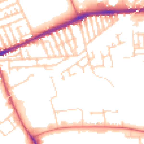
Daytime· 07:00 – 23:00
51.7dB

Night-time· 23:00 – 07:00
42.1dB