67 Ashbrook Drive, Liverpool, L9 7LU
About 67 Ashbrook Drive
67 Ashbrook Drive is a four-bedroom detached house in Liverpool (L9 7LU). It has a recorded floor area of 144 m² (around 1550 sq ft), construction records dating it to 1996-2002 and council tax band D. The property has solar panels on record, all of which lower running costs and tend to lift resale appeal. Records show the property has been extended at some point in its history. The home occupies a cul-de-sac position. The latest certificate (November 2014) shows a C (score 76), near the top of the C band. The recommended improvements would push it to B (score 82). The latest certificate is from November 2014, so improvements made since then won't be reflected.
At 144 m² it's 28.6% larger than the typical home in the postcode (112 m² median across 47 EPCs). Its energy rating outperforms most of the postcode (better than 79% of similar EPCs). Across 2000–2024, sale prices on this property compounded at 5% per year. On a £-per-square-foot basis, the last sale (£203/sq ft) was about 147.1% above the typical sold price in the postcode. Sold July 2024 for £315,000.
Know exactly what you're buying at 67 Ashbrook Drive
Before you offer, see what the listing won't tell you, the true value, the red flags and the full history.
Valuation
against the asking price
Risks
planning & flood
Sold prices
similar homes nearby
Trends
the local market
What this property has
Inside
- Bedrooms4
- Bathrooms2
- Dining roomYes
- Utility roomYes
- EnsuiteYes
Outside
- Private gardenRear
- GarageIntegral
- Cul-de-sacYes
Building
- Central heatingYes
- Solar panelsYes
- Previously extendedYes
Energy performance
67 Ashbrook Drive's EPC is over a decade old — improvements since won't be reflected.
EPC Expired
This certificate is over 10 years old and is no longer valid.Expired 24 Nov 2024
EPC Rating
Planning history
67 Ashbrook Drive has no planning applications on record.
The full report still covers planning activity across the surrounding area.
Sales history & valuation
Latest sale on 67 Ashbrook Drive was the highest on Land Registry record across the postcode.
£329,000
Modelled from EPC, postcode comparables and a sale-price growth of 5.0% per year over 24 years.
£315,000
Growth on file: 5.0% per year over 24 years.
Sales timeline
11 July 2024Most recent
£315,000
+213.7%over 23 years10 November 2000
£100,400
Median price across the last 5 sales in L9 7LU: £168,000 (2022–2017).
Nearby sales in L9 7LU
Everything we know about 67 Ashbrook Drive, in one report
What it's really worth, what could be wrong, and the planning, sales and area data in full.
- Am I paying too much?
- Is something wrong with it?
- Is the agent's story true?
- Will it hold its value?

Versus other Ashbrook Drive homes
67 Ashbrook Drive is notably below the street on years held.
Price per m²
£2,188
Street avg £1,133
Floor Area
144 m²
Street avg 115 m²
Habitable Rooms
7 rooms
Street avg 5 rooms
CO₂ Emissions
4.1 t/year
Street avg 5.4 t/year
Similar properties nearby
The neighbourhood at a glance
Rail-style transport is unusually close for this postcode.
Crime
33/mo
Steady year-on-year across the wider district.
Nearest stop
0.4 km
Bradville Road — bus stop.
Closest school
0.5 km
Archbishop Beck Catholic College. 31 schools nearby.
Go deeper on the local area
The full report breaks down crime, transport links, schools and air quality in depth.
Road noise across the postcode
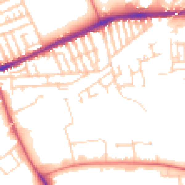
Daytime· 07:00 – 23:00
51.7dB

Night-time· 23:00 – 07:00
42.1dB