51 Devonfield Road, Liverpool, L9 3BG
About 51 Devonfield Road
51 Devonfield Road is a four-bedroom semi-detached house in Liverpool (L9 3BG). It has a recorded floor area of 122 m² (around 1313 sq ft), construction records dating it to 1900-1929 and council tax band B. The latest certificate (July 2018) shows a D (score 58), a step below the typical UK home. The recommended improvements would push it to C (score 75).
At 122 m² it's 23.2% larger than the typical home in the postcode (99 m² median across 19 EPCs). Across 1999–2018, sale prices on this property compounded at 6.5% per year. Today's modelled estimate of £220,000 is 45.2% above the 2018 sale price. On a £-per-square-foot basis, the last sale (£115/sq ft) was about 46.5% above the typical sold price in the postcode. Most recent transfer: September 2018 at £151,500.
Know exactly what you're buying at 51 Devonfield Road
Before you offer, see what the listing won't tell you, the true value, the red flags and the full history.
Valuation
against the asking price
Risks
planning & flood
Sold prices
similar homes nearby
Trends
the local market
What this property has
Inside
- Bedrooms4
- Bathrooms1
- Dining roomYes
- StudyYes
Building
- Heating systemGas
Energy performance
51 Devonfield Road's carbon output runs well above what efficient homes in the postcode produce.
EPC Rating
Planning history
51 Devonfield Road has no planning applications on record.
Notable planning nearby
1applications of note in the surrounding area
Sales history & valuation
Latest sale on 51 Devonfield Road was the highest on Land Registry record across the postcode.
£220,000
Modelled from EPC, postcode comparables and a sale-price growth of 6.5% per year over 19 years.
£151,500
Growth on file: 6.5% per year over 19 years.
Sales timeline
6 September 2018Most recent
£151,500
+225.8%over 18 years8 November 1999
£46,500
Median price across the last 5 sales in L9 3BG: £103,000 (2024–2019).
Nearby sales in L9 3BG
Everything we know about 51 Devonfield Road, in one report
What it's really worth, what could be wrong, and the planning, sales and area data in full.
- Am I paying too much?
- Is something wrong with it?
- Is the agent's story true?
- Will it hold its value?

Versus other Devonfield Road homes
51 Devonfield Road outperforms the street on floor area by a wide margin.
Price per m²
£1,242
Street avg £818
Floor Area
122 m²
Street avg 98 m²
Habitable Rooms
7 rooms
Street avg 5 rooms
CO₂ Emissions
6.0 t/year
Street avg 4.0 t/year
Similar properties nearby
1 Lancefield Road
L9 3BD
10 Hanford Avenue
L9 3BW
10 Devonfield Road
L9 3BQ
1 Broomfield Gardens
L9 3AA
1 Dingley Avenue
L9 3AU
1 Hollyfield Road
L9 3BJ
1 Thornfield Road, Walton
L9 3AH
1 Devonfield Road
L9 3BG
The neighbourhood at a glance
Rail-style transport is unusually close for this postcode.
Crime
33/mo
Steady year-on-year across the wider district.
Nearest stop
0.2 km
Orrell Park Station — bus stop.
Closest school
0.3 km
Rice Lane Primary School and Nursery. 45 schools nearby.
Go deeper on the local area
The full report breaks down crime, transport links, schools and air quality in depth.
Road noise across the postcode
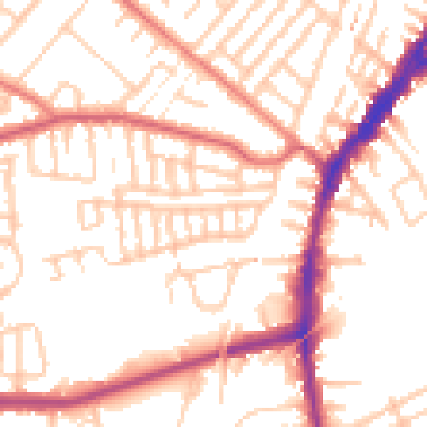
Daytime· 07:00 – 23:00
52.8dB
Night-time· 23:00 – 07:00
42.9dB