10 Matlock Avenue, Liverpool, L9 3AS
About 10 Matlock Avenue
10 Matlock Avenue is an end-of-terrace house in Liverpool (L9 3AS). It has a recorded floor area of 122 m² (around 1317 sq ft), construction records dating it to 1900-1929 and council tax band A. The latest certificate (July 2009) shows an F (score 34), near the bottom of the EPC scale. The recommended improvements would push it to E (score 42). The latest certificate is from July 2009, so improvements made since then won't be reflected.
Untraded for 17 years, with the last transfer in September 2009. That sale fell during the post-crash dip, which often skews comparisons against later neighbouring sales. On energy efficiency it sits in the bottom 10% of properties in this postcode — significant headroom for improvement. Across 2000–2009, sale prices on this property compounded at 11.1% per year. Today's modelled estimate of £130,000 is 20.4% above the 2009 sale price.
Know exactly what you're buying at 10 Matlock Avenue
Before you offer, see what the listing won't tell you, the true value, the red flags and the full history.
Valuation
against the asking price
Risks
planning & flood
Sold prices
similar homes nearby
Trends
the local market
Energy performance
10 Matlock Avenue sits at the bottom of the postcode for energy efficiency — meaningful headroom to improve.
EPC Expired
This certificate is over 10 years old and is no longer valid.Expired 27 Jul 2019
EPC Rating
Planning history
10 Matlock Avenue has no planning applications on record.
Notable planning nearby
1applications of note in the surrounding area
Sales history & valuation
Sale price has at least doubled since 2000.
£130,000
Modelled from EPC, postcode comparables and a sale-price growth of 11.1% per year over 9 years.
£108,000
Growth on file: 11.1% per year over 9 years.
Sales timeline
16 September 2009Most recent
£108,000
+51.0%over 5 years20 October 2003
£71,500
+74.4%over 3 years29 June 2000
£41,000
Median price across the last 5 sales in L9 3AS: £123,606 (2022–2007).
Nearby sales in L9 3AS
Everything we know about 10 Matlock Avenue, in one report
What it's really worth, what could be wrong, and the planning, sales and area data in full.
- Am I paying too much?
- Is something wrong with it?
- Is the agent's story true?
- Will it hold its value?

Versus other Matlock Avenue homes
On epc rating, 10 Matlock Avenue runs well behind the street norm.
Price per m²
£883
Street avg £1,049
Floor Area
122 m²
Street avg 110 m²
Habitable Rooms
4 rooms
Street avg 5 rooms
CO₂ Emissions
9.5 t/year
Street avg 4.9 t/year
Similar properties nearby
The neighbourhood at a glance
Rail-style transport is unusually close for this postcode.
Crime
33/mo
Steady year-on-year across the wider district.
Nearest stop
0.1 km
Orrell Park Station — bus stop.
Closest school
0.3 km
Rice Lane Primary School and Nursery. 43 schools nearby.
Go deeper on the local area
The full report breaks down crime, transport links, schools and air quality in depth.
Road noise across the postcode
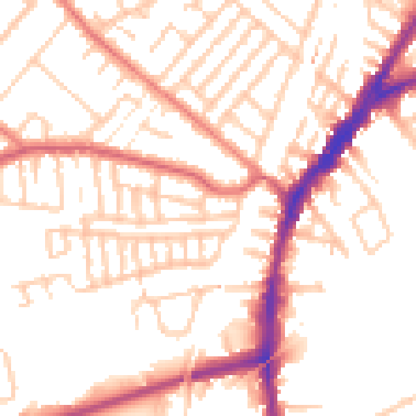
Daytime· 07:00 – 23:00
52.4dB

Night-time· 23:00 – 07:00
42.5dB