7 Broomfield Gardens, Liverpool, L9 3AA
About 7 Broomfield Gardens
7 Broomfield Gardens is a three-bedroom property in Liverpool (L9 3AA). It has council tax band B.
Untraded for 19 years, with the last transfer in February 2007. That sale landed at the peak of the pre-credit-crunch market, which is a useful reference point when interpreting the price. One historical planning record sits against the property in 2019.
Know exactly what you're buying at 7 Broomfield Gardens
Before you offer, see what the listing won't tell you, the true value, the red flags and the full history.
Valuation
against the asking price
Risks
planning & flood
Sold prices
similar homes nearby
Trends
the local market
What this property has
Inside
- Bedrooms3
- Dining roomYes
Outside
- Private gardenYes
- GarageEn bloc
Building
- Central heatingYes
Energy performance
No EPC on record
This property doesn't have an Energy Performance Certificate yet. An EPC is required to sell or let — and unlocks our automated valuation.
Planning history
- Jan 2019OutbuildingFullIn report
To erect single storey structure in rear garden for use as cattery.
- Documents
- 10 docs on file
- Reference
- 18F/2797
What's in 7 Broomfield Gardens, Liverpool, L9 3AA's planning history?
Refusals, disputes and full decisions on this property and nearby, in the report.
Sales history & valuation
The latest sale landed at the peak of the pre-credit-crunch market — a high-water reference point.
£148,750
Recorded with HM Land Registry.
Sales timeline
1 February 2007Most recent
£148,750
Median price across the last 5 sales in L9 3AA: £140,000 (2025–2014).
Nearby sales in L9 3AA
3 Broomfield Gardens, Liverpool, L9 3AA
Sold Sept 2025
£150,0008 Broomfield Gardens, Liverpool, L9 3AA
Sold Feb 2023
£140,00011 Broomfield Gardens, Liverpool, L9 3AA
Sold Nov 2017
£122,0005 Broomfield Gardens, Liverpool, L9 3AA
Sold Dec 2014
£117,0004 Broomfield Gardens, Liverpool, L9 3AA
Sold Jan 2012
£100,000
Everything we know about 7 Broomfield Gardens, in one report
What it's really worth, what could be wrong, and the planning, sales and area data in full.
- Am I paying too much?
- Is something wrong with it?
- Is the agent's story true?
- Will it hold its value?

Similar properties nearby
The neighbourhood at a glance
Rail-style transport is unusually close for this postcode.
Crime
33/mo
Steady year-on-year across the wider district.
Nearest stop
0.3 km
Walton (Merseyside) Rail Station — railway station.
Closest school
0.3 km
Rice Lane Primary School and Nursery. 40 schools nearby.
Go deeper on the local area
The full report breaks down crime, transport links, schools and air quality in depth.
Road noise across the postcode
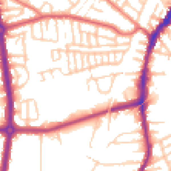
Daytime· 07:00 – 23:00
53.7dB

Night-time· 23:00 – 07:00
44.4dB