48 Bushey Road, Liverpool, L4 9UA
About 48 Bushey Road
48 Bushey Road is a property in Liverpool (L4 9UA). It has council tax band A.
One planning record on file: an extension approved in 2019. Past consents include an extension and a porch, meaningful when judging how the property has evolved. Across 1995–2019, sale prices on this property compounded at 1.3% per year. Sold March 2019 for £54,500.
Know exactly what you're buying at 48 Bushey Road
Before you offer, see what the listing won't tell you, the true value, the red flags and the full history.
Valuation
against the asking price
Risks
planning & flood
Sold prices
similar homes nearby
Trends
the local market
Energy performance
No EPC on record
This property doesn't have an Energy Performance Certificate yet. An EPC is required to sell or let — and unlocks our automated valuation.
Planning history
- Jan 2019PorchFullIn report
Extension: Side and rear of property
To erect two storey extension to side and rear, single storey extension to rear and porch to front
Extension- Documents
- 9 docs on file
- Reference
- 18H/3052
What's in 48 Bushey Road, Liverpool, L4 9UA's planning history?
Refusals, disputes and full decisions on this property and nearby, in the report.
Sales history & valuation
48 Bushey Road's sale-price growth has lagged the wider UK trajectory across its history on file.
£54,500
Growth on file: 1.3% per year over 24 years.
Sales timeline
29 March 2019Most recent
£54,500
-50.5%over 13 years25 August 2005
£110,000
+175.0%over 9 years21 September 1995
£40,000
Median price across the last 5 sales in L4 9UA: £110,000 (2025–2020).
Everything we know about 48 Bushey Road, in one report
What it's really worth, what could be wrong, and the planning, sales and area data in full.
- Am I paying too much?
- Is something wrong with it?
- Is the agent's story true?
- Will it hold its value?

Similar properties nearby
The neighbourhood at a glance
Reported crime in the wider district is trending notably upward year-on-year.
Crime
11/mo
Rising year-on-year across the wider district.
Nearest stop
0.3 km
Stanley Park Avenue North — bus stop.
Closest school
0.1 km
Florence Melly Community Primary School. 49 schools nearby.
Go deeper on the local area
The full report breaks down crime, transport links, schools and air quality in depth.
Road noise across the postcode
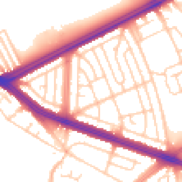
Daytime· 07:00 – 23:00
54.8dB

Night-time· 23:00 – 07:00
46.2dB