39 Bushey Road, Liverpool, L4 9UA
About 39 Bushey Road
39 Bushey Road is a three-bedroom semi-detached house in Liverpool (L4 9UA). It has a recorded floor area of 88 m² (around 947 sq ft), construction records dating it to 1930-1949 and council tax band A. The latest certificate (November 2014) shows a C (score 74). The rating has held steady at C across 3 certificates since November 2013. Between certificates, window efficiency went from Average to Good; while lighting dropped from Poor to Very Poor. The recommended improvements would push it to B (score 90). The latest certificate is from November 2014, so improvements made since then won't be reflected.
Most recent transfer was March 2025 at £196,000 — fresh data. Across 1999–2025, sale prices on this property compounded at 7.7% per year. On a £-per-square-foot basis, the last sale (£207/sq ft) was about 106.4% above the typical sold price in the postcode.
Know exactly what you're buying at 39 Bushey Road
Before you offer, see what the listing won't tell you, the true value, the red flags and the full history.
Valuation
against the asking price
Risks
planning & flood
Sold prices
similar homes nearby
Trends
the local market
What this property has
Inside
- Bedrooms3
- Bathrooms1
Outside
- ParkingOff road
Building
- RefurbishedYes
Energy performance
39 Bushey Road's EPC is over a decade old — improvements since won't be reflected.
EPC Expired
This certificate is over 10 years old and is no longer valid.Expired 28 Nov 2024
EPC Rating
Property Improvements
Changes detected from historical EPC data
Window efficiency improved
More low energy lighting installed
Heating controls upgraded for better temperature management
Wall insulation improved
Low energy lighting percentage decreased
Planning history
39 Bushey Road has no planning applications on record.
The full report still covers planning activity across the surrounding area.
Sales history & valuation
Latest sale on 39 Bushey Road was the highest on Land Registry record across the postcode.
£192,000
Modelled from EPC, postcode comparables and a sale-price growth of 7.7% per year over 26 years.
£196,000
Growth on file: 7.7% per year over 26 years.
Sales timeline
28 March 2025Most recent
£196,000
+127.9%over 10 years30 January 2015
£86,000
+191.5%over 15 years1 August 1999
£29,500
Median price across the last 5 sales in L4 9UA: £100,000 (2023–2019).
Everything we know about 39 Bushey Road, in one report
What it's really worth, what could be wrong, and the planning, sales and area data in full.
- Am I paying too much?
- Is something wrong with it?
- Is the agent's story true?
- Will it hold its value?

Versus other Bushey Road homes
39 Bushey Road outperforms the street on price per m² by a wide margin.
Price per m²
£2,227
Street avg £1,078
Floor Area
88 m²
Street avg 85 m²
Habitable Rooms
4 rooms
Street avg 5 rooms
CO₂ Emissions
2.4 t/year
Street avg 3.1 t/year
Similar properties nearby
The neighbourhood at a glance
Reported crime in the wider district is trending notably upward year-on-year.
Crime
11/mo
Rising year-on-year across the wider district.
Nearest stop
0.3 km
Stanley Park Avenue North — bus stop.
Closest school
0.1 km
Florence Melly Community Primary School. 49 schools nearby.
Go deeper on the local area
The full report breaks down crime, transport links, schools and air quality in depth.
Road noise across the postcode
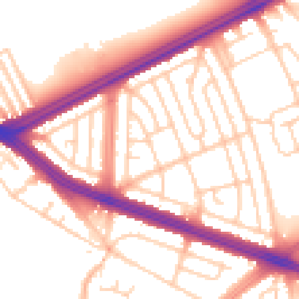
Daytime· 07:00 – 23:00
54.8dB

Night-time· 23:00 – 07:00
46.2dB